Moderate to extreme drought in most of Colorado, Wyoming
High pressure dominated the southern half of the contiguous U.S. again during this U.S. Drought Monitor week. Upper-level weather systems tracked across the U.S.-Canadian border, dragging surface lows and fronts along with them. The High brought hot temperatures to much of the South, East, and West, with daily maximum temperatures exceeding 90 degrees F every day.
The fronts brought cooler temperatures to the Upper Midwest at the beginning of the week, but maximum temperatures began to exceed 90 degrees across the Plains and eastward as the week wore on. The hot temperatures increased evapotranspiration, which dried soils and stressed crops and other vegetation. This was seen in ET models such as the EDDI and ESI and several soil moisture models, satellite observations of soil moisture, and agricultural field reports.
Drought or abnormal dryness expanded or intensified across parts of the West, Midwest, Southeast, and Northeast where little to no rain fell and 30- to 90-day precipitation deficits mounted. But locally heavy rainfall was generated by the fronts in parts of the Plains, Midwest, and East. Heavy rain also fell across southern Texas when Hurricane Hanna struck, and Hurricane Douglas graced parts of Hawaii with beneficial rain. Where the rain fell on drought or abnormally dry areas in these regions, contraction occurred.
High Plains
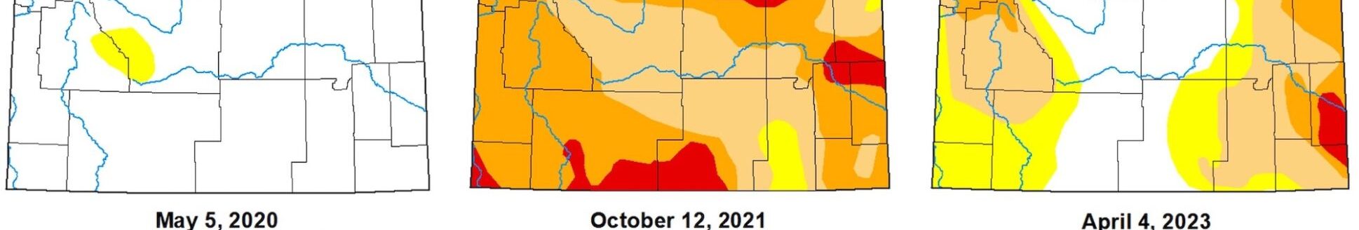
Areas of 2+ inches of rain occurred over parts of Nebraska and Kansas and a few parts of the Dakotas, while parts of Colorado had an inch or more of rain. But little to no rain fell in a few areas of Kansas, across parts of Nebraska and Colorado, across even more of the Dakotas, and across most of Wyoming. Contraction of abnormal dryness and moderate to extreme drought occurred across Kansas and parts of Colorado; abnormal dryness and moderate to severe drought contracted in parts of Nebraska; and abnormal dryness and moderate drought were trimmed in parts of the Dakotas. But abnormal dryness or moderate drought expanded in parts of Colorado and the Dakotas, and abnormal dryness and moderate to severe drought expanded in Nebraska. Wyoming saw expansion of abnormal dryness and moderate to extreme drought. Moderate to extreme drought covers most of Colorado and Wyoming.
South
Central Oklahoma was inundated with heavy frontal rain while Hanna brought heavy rain to the Gulf Coast from southern Texas to Mississippi. Rainfall exceeded 3 inches in these areas, with locally heavier amounts. Parts of Arkansas, Tennessee, and northern Texas received an inch or more of rain. But little to no rain occurred in a large swath from southwest Texas to western Tennessee and northern Mississippi. Abnormal dryness and moderate to extreme drought contracted, especially in central Oklahoma and the Texas panhandle. Abnormal dryness contracted in parts of Tennessee and Louisiana. But abnormal dryness expanded in parts of eastern Oklahoma and parts of Arkansas, Mississippi, and Tennessee. Abnormal dryness and moderate to extreme drought expanded in other parts of Texas.
Midwest
It was the same story in the Midwest. Bands of heavy showers and thunderstorms moved along the frontal boundary, bringing 2 or more inches of rain locally in Minnesota, Wisconsin, and the Ohio Valley. But soils continued to dry out where it didn’t rain, especially from parts of Iowa to Lower Michigan. Parts of southern Minnesota received over 6 inches of rain, but it mostly fell over areas that were not in drought or abnormally dry. Abnormal dryness to severe drought were reduced in northern Minnesota, and abnormal dryness or moderate drought shrank in parts of Iowa, Missouri, Illinois, Indiana, and Kentucky. But abnormal dryness or moderate drought expanded in Ohio, Michigan, and other parts of Kentucky, and abnormal dryness to severe drought expanded in Iowa.