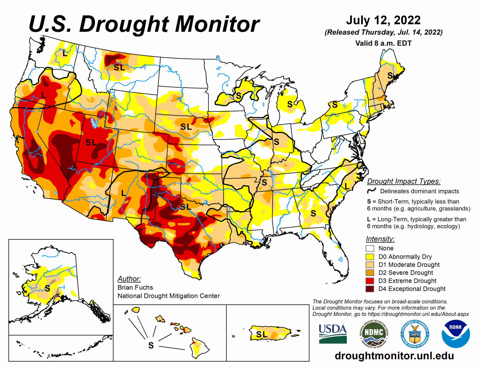
An active weather pattern over much of the Midwest and Southeast brought with it ample rain over many areas, with some places recording more than 5 inches for the week. Dry conditions were noted in the Northeast, West, and southern Plains where flash drought conditions were impacting vast portions of Texas, Oklahoma, Arkansas and into the lower Mississippi River valley. Monsoonal moisture continued to be spotty over much of Arizona and New Mexico, reaching into portions of west Texas as well as southern Colorado and Utah. Temperatures were near normal to slightly above over most of the U.S., with cooler-than-normal temperatures over portions of the West, Northeast, and Mid-Atlantic and above-normal temperatures over most of Texas, Oklahoma, Arkansas, and southern Missouri.
South
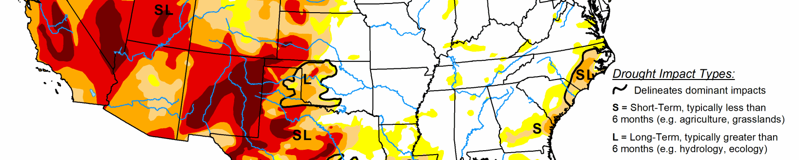
The region was mainly dry outside of some monsoonal moisture that made it into portions of West Texas and the panhandle. Portions of southwest Mississippi into southern Louisiana also benefited from above-normal precipitation this week. Some of the warmest temperatures in the country were observed in the region this week with many places having multiple days of triple-digit heat. Temperatures were 5-10 degrees above normal over much of the region as flash drought has developed. With the rapidly developing situation, without relief from the heat or precipitation, drought will continue to intensify rapidly.
There were many changes to the drought intensity of the region this week, with only areas of west Texas and the panhandles of Texas and Oklahoma showing any improvements. Almost all of eastern Oklahoma, northern Texas, and Arkansas had a full-category degradation this week. Further degradation took place over central and southern Texas as well as portions of northern and western Louisiana. Coleman County, Texas had its driest January-to-June period on record going back to 1895. Other counties that had the driest first six months of the year were Bosque, Hamilton, Coryell, Wilson, Karnes, and Bee counties in Texas and Calcasieu Parish in Louisiana. There has been an uptick in the number of cattle sales taking place as water and feed demands are being impacted by the drought.
Midwest
Widespread precipitation over the region helped to stave off much expansion and intensification of drought in the region. Temperatures were coolest over the upper Midwest and Michigan, with temperatures that were 2-4 degrees below normal. The warmest area was in the southwestern corner of the region, where portions of southern Missouri were 4-6 degrees above normal for the week. Improvements were made from southern Minnesota to Kentucky where the greatest rains occurred, but where the rains missed, some degradation took place. Moderate drought and abnormally dry conditions expanded over southern Minnesota into western Wisconsin. Moderate drought expanded over central and southern Missouri as flash drought conditions have started to take hold over the last few weeks. Portions of northern Illinois, central Indiana and into southwest Ohio and northern Kentucky saw expansion of moderate drought and abnormally dry conditions. Two new areas of severe drought were introduced into western and central Kentucky this week too.
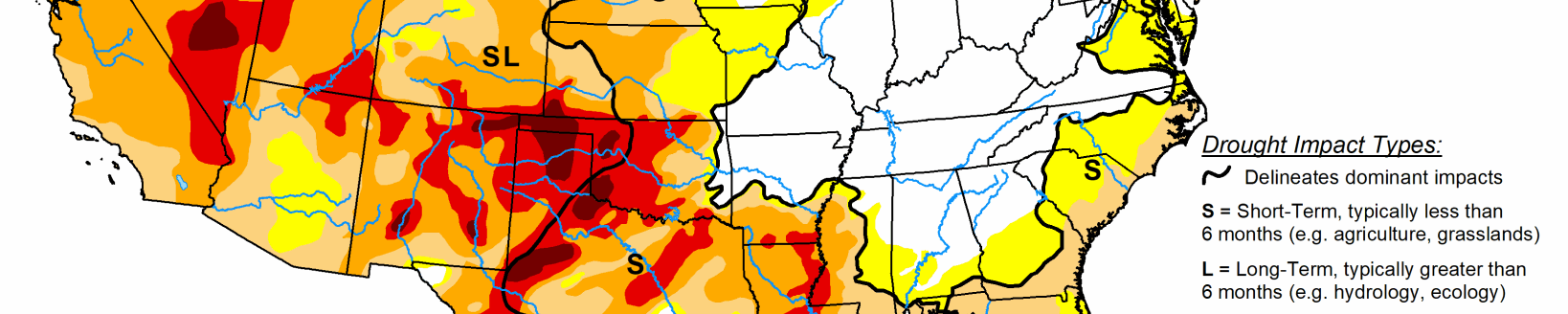
High Plains
Most of the region had warmer-than-normal temperatures for the week, with most areas 1-3 degrees above normal. Heavy rains through western North Dakota, central and eastern South Dakota, northwest and central Nebraska, and northeastern Kansas helped with some dryness in the areas. The scattered nature of the rains left many dry, though, as summer thunderstorms were hit or miss in the region.
Some improvements were made in Nebraska and central Kansas as well as on the plains of Colorado and Wyoming this week where the short-term wetness helped to alleviate concerns. Degradation took place over central Wyoming, southern South Dakota and western Kansas where longer-term dryness has been in place and most of these areas have missed out on earlier precipitation events. Exceptional drought was removed in southeast Colorado and extreme drought was reduced this week. Southeast Kansas is an area where abnormally dry and moderate drought expanded this week, as they are on the northern fringe of a flash drought that has been developing over the last 4-5 weeks.
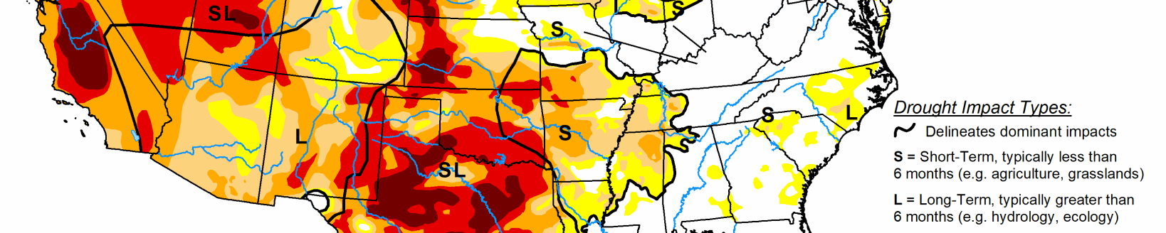
West
Cooler-than-normal temperatures prevailed from the Pacific Northwest into much of California and western Nevada, where temperatures were 1-3 degrees below normal. Much of the rest of the region was normal to slightly above normal for the week. Above-normal rains fell in portions of Oregon and Washington as well as in Montana. Monsoonal moisture continues in New Mexico and Arizona, but it is widely scattered in nature compared to earlier in June. The rains did allow for some improvement in areas of New Mexico, where extreme and severe drought were reduced, and western Arizona, where severe drought was reduced. Severe drought was improved in southwest Colorado and much of the drought area of Montana had a full-category improvement. Moderate drought and abnormally dry conditions were adjusted in Washington to show a mix of improvements and some expansion of moderate drought. Extreme and exceptional drought was expanded over central Nevada and exceptional drought was expanded to include more of the San Joaquin Valley in California.