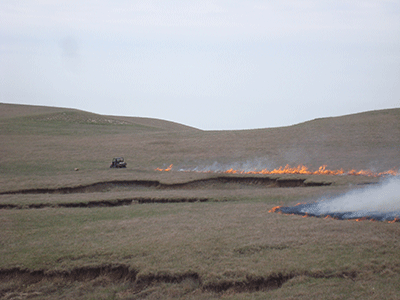
Landowners should take time as the prescribed burning season approaches to familiarize themselves with information available on www.ksfire.org and the Kansas Flint Hills Smoke Management page on Facebook at https://www.facebook.com/ksfire. Tools are available at both locations to help make burn timing decisions that minimize smoke impact on urban areas. Landowners are being asked to use these tools in an effort to prevent the Environmental Protection Agency from regulating burning.
Among key elements available for use are two forecast models on the website. The Cumulative Fire Impact map predicts potential smoke contributions from each county to air quality in urban areas. The second model shows the direction and extent of the predicted smoke plume from a single burn based on variables provided by the user. An animated map displays smoke movement over the next 48 hours based on burn location, number of acres and the estimated fuel load. Weather conditions also are provided to evaluate the safety and effectiveness of a planned burn.
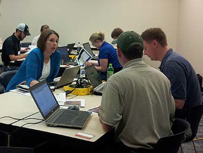
Kansas State University has scheduled two workshops focused on providing strategies to help landowners implement a smoke management plan. The workshops will be held March 21 at the Lyon County Fairgrounds in Emporia from 9:30 a.m. to 11:30 a.m. and April 3 at the Kansas Farm Bureau office in Manhattan from 1:30 p.m. to 3:30 p.m. To register or for more information, contact Zifei Liu at [email protected].