A bird’s eye view can sometimes give a better picture of a situation.
Integrated pest management researchers at New Mexico State University are adapting the concept by using specialized cameras on drones to locate plants suffering from stress.
“With the use of a multispectral camera, we are collecting red and near-infrared spectral bands,” said Ashley Bennett, urban IPM specialist with the College of Agricultural, Consumer and Environmental Sciences. “From these bands we can calculate a plant stress metric called normalized difference vegetation index.”
NDVI ranges from negative one to one. The greener the plant is, the healthier it is and the closer the NDVI value is to one. The more a plant is stressed the closer the value is to negative one. Images range from green for healthy plants, to red for stressed plants.
“Many factors can cause plant stress,” Bennett said. “It could be an insect, a disease or water stress.”
Bennett has been developing the methods for collecting data during the summer by flying a drone over grape vineyards looking for plants stressed from root-eating nematodes and leaf-eating hopper insects. Ultimately, she also wants to use the technology to identify trees in city parks that are stressed from insect pests.
“One of the potential benefits of using drones to monitor for insect pests whether in agricultural fields or city parks is the time this technology can save in locating stressed plants,” she said. “Without the drone, a person has to walk the entire vineyard or park looking for signs of stress from insect feeding.”
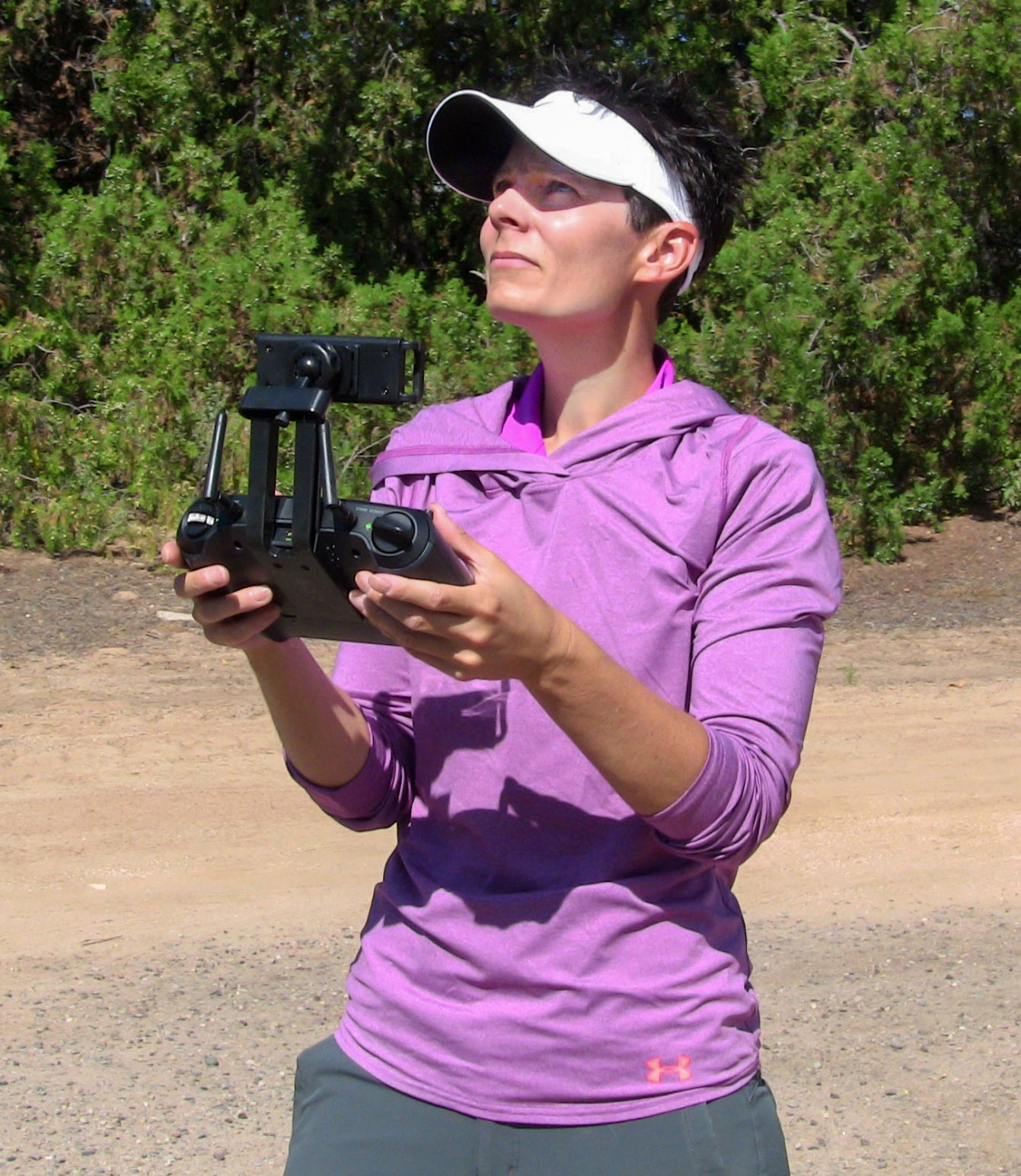
Bennett and Miranda Kersten, NMSU program manager, use Mission Planner, an autopilot software to fly the drone while photographing the plants.
“For the flight today, the drone will fly 20 meters above the field at about five miles per hour,” Bennett said while using the drone to determine if there is hopper insect stress on grapevines at NMSU’s Agricultural Science Center at Los Lunas. “It will take under five minutes to make four passes over the four rows of grape vines.”
Prior to the flight, Kersten had programmed the autopilot software with GPS coordinates for the flight and uses distance to trigger when photos are taken. During the Los Lunas flight, the camera took a shot every five meters.
When Kersten processes the digital photos, the 60 shots collected will generate 300 pictures because each time the camera triggers, five pictures are captured.
“Prior to the flight we decide what bands we want to capture,” Kersten said. “When all of the bands are turned on we collect pictures in green, red, red edge and near-infrared. We also take a color photo with each shot.”
The images are processed with Pix4D software, a post processing software for drone-based imagery. The drone-captured images are downloaded, stitched together and processed to produce a map showing NDVI values for the grape vines. The NDVI map of the surveyed grapevines will appear green if the vines are healthy to red if the vines are showing signs of stress from insect feeding.
“In addition to using the drone to identify plant stress, we will also use a hand-held NDVI meter, which will allow us to compare ground-collected NDVI values with those collected using the drone,” Bennett said.
While no obvious signs of stress have been observed so far this season, Bennett expects to see more later in the season.
“I hope with later flights we will be able to identify where nematodes are present in vineyards, or where we have hopper insect damage,” Bennett said. “Because insect populations build over the season, I anticipate flights later in the season will show more stress.”
In 2017, NMSU received a three-year U.S. Department of Agriculture grant for $634,286 for delivery of IPM education and outreach to New Mexico communities. The drone project is part of the grant.
“This technology is being used elsewhere in the country for pest monitoring,” Bennet said. “So I am hopeful that we will be able to use this technology here in New Mexico as well.”


