Climatologist explains using soil moisture for state-level drought monitoring
During a recent Practical Applications of Soil Moisture Information webinar, South Dakota State Climatologist Laura Edwards described how her office uses information about soil moisture levels to monitor drought levels in the state.
This second webinar in the series was hosted by the National Integrated Drought Information System and the National Weather Service and was sponsored by the National Coordinated Soil Moisture Monitoring Network, a NIDIS-led multi agency initiative to deliver a coordinated high quality nationwide soil moisture information system to support public good. One goal of the series is to raise awareness of soil moisture as a key hydrologic indicator.
“I kind of cover everything from flood to drought and everything in between,” Edwards said.
Last year in the eastern part of South Dakota, according to Edwards, the only green vegetation that came up was the kochia weeds, yet “we’ve had a tremendous recovery in this part of the state.”
“But that doesn’t mean we’re out of the woods yet,” she said. “And so we continue to monitor drought conditions really all year around South Dakota.”
It might sound kind of funny to think that a northern climate with some snowfall would experience a drought during the winter months. But it happens.
“You think drought might not matter, but it really does,” she said. “Still even in our economy, in our landscape that is so agriculture driven, even wintertime drought can make a difference.”
For Edwards, she looks at a handful of indicators as far as monitoring drought goes. She starts with the U.S. Drought Monitor, checking it on a weekly basis.
“We stay on top of that more when we are in drier drought conditions, but we do watch that all year round,” she said. “And I have a group of people that I collaborate with on a weekly basis to kind of come up with a consensus recommendation for South Dakota.”
They check on different indicators across a couple climate zones on all seasons. It can be difficult to coordinate because there are three National Weather Service offices that cover South Dakota, along with the state geologist, state fire meteorologist, as well as the state water rights staff in the state’s Department of Ag and Natural Resources—but through them she’s able to keep tabs on things.
“So one of the things too about monitoring drought conditions is that we actually have overcome incident annex in South Dakota in which myself and the State Fire meteorologists help inform the governor’s office every spring about drought conditions,” she said.
Edwards has already started having those communications with the Drought Task Force in South Dakota. Usually on or around May 1 they make an announcement as to whether or not the task force needs to be activated.
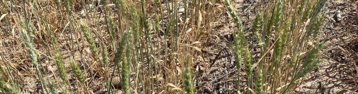
Edwards also works within the South Dakota State University Extension, primarily on the agricultural side—including crops, livestock and natural resource management. They communicate year round depending upon the season as far as what the impacts are.
She also collaborates with the U.S. Department of Agriculture and their offices within the state, and regional efforts with the climate hubs.
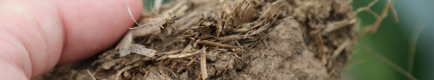
Soil moisture is becoming an area of increasing importance for Edwards because of the increased amounts of data available as well as measurements for soil moisture. In South Dakota, the soils are pretty diverse, Edwards said. The eastern side was glaciated, while the west was not.
“We have very different soils west of the Missouri River as we do east of the Missouri River,” she said. “We see some differences in soil moisture and soil response to precipitation in the eastern and western landscapes with the different soil types.”
Edwards feels like at the state level she’s at an advantage when she can dig through the data when monitoring drought. One of the tools she uses for this is the South Dakota Mesonet that’s operated by SDSU. Currently it’s a network of nearly 40 stations.
“They’re in a big time of growth right now where there are going to be over 150 stations statewide covering almost the whole state here in about five years time,” she said. “So in pretty short order, we’re going to know a whole lot more about soil moisture, temperature, meteorological variables, above ground and below ground at about a 25-mile scale.”
Many residents will be within 25 miles of a mesonet weather station by the time the upgrade is done. Each will have most of the standard meteorological variables—wind speed and direction, air temperature, pressure and precipitation.
Other instruments help contribute to the understanding of the water balance around the state, in addition to solar radiation, soil temperature and moisture. With this information the whole water balance can be measured.
“We have that at five different depths, which is really, really becoming important,” Edwards said.
There is typically very little change in soil moisture over the winter season when soils are frozen.
“This often gives us a good picture of our starting points in the spring when we’re in the thaw season like we are now,” she said. “Unfortunately, we don’t yet have a long enough record to determine normal, so we kind of look for more like incremental differences week to week or month to month and compare individual dates in the archive to capture you know what layers are drying or wetting and that kind of thing.”
Overall Edwards believes the collection of tools they use for soil moisture, including models sent in remotely from in situ data, all have a purpose.
“These transition seasons like spring and fall—we’re trying to better understand our soil response to both precipitation events and snow melt season,” she said. “This year we had very little snow with it. So we didn’t get to test that a whole lot this year but something we’re looking forward to.”
There’s some excellent tools with the Mesonet, but Edwards does have a wish list, including improving data visualization.
“Getting more of the differences between time—like say a month, a week, whatever to help inform the Drought Monitor,” she said. “Going beyond that volumetric water content, going towards something like plant available water and other indicators is where we like to go and we have soil samples.”
Eventually the soil moisture measurement will be calibrated to the soil type and Edwards is working with USDA to do so.
“Which would be even just a step higher for us to better understand our soils here in South Dakota,” she said. “I think we’ve come a really long way in the last decades. We have a couple more steps to go and I think the future’s bright for us.”
Kylene Scott can be reached at 620-227-1804 or [email protected].