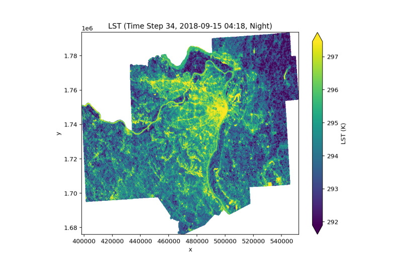
University of Missouri Extension specialists are using NASA satellite data to help transportation planners identify areas along highways in the St. Louis metropolitan region where green infrastructure could reduce extreme heat and improve public health.
Michael Sunde, MU Extension state natural resource specialist, is working with the East-West Gateway Council of Governments on an initiative that analyzes data from the International Space Station, which provides high-resolution imagery of land surface temperatures. These geospatial insights help planners design green spaces near transit corridors to improve public health and safety, enhance roadway aesthetics and reduce long-term maintenance costs, Sunde said.
NASA now provides more accurate land surface temperature readings, enabling better modeling and planning for heat mitigation, he said.
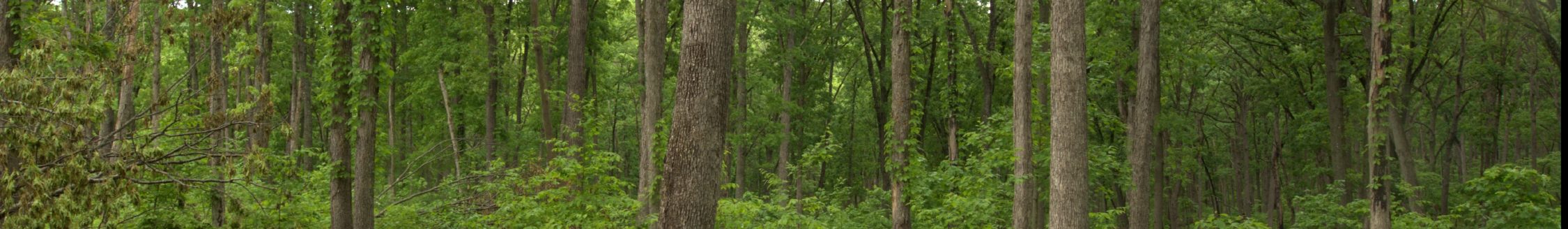
PHOTO: MU Extension researchers are using NASA data to map land surface temperatures. This will help transportation planners in the St. Louis area identify areas where green infrastructure could reduce extreme heat. (MU Extension)