Moderate to heavy amounts of 1.5 to locally 4.0 inches pelted Kentucky, southern Missouri, northeastern Arkansas, just north of the central Gulf Coast, and patchy areas across southern Virginia and the interior Southeast. Similar amounts dotted southern California and the higher elevations of the southern Sierra Nevada and the Four Corners region, especially across Arizona.
Light to moderate precipitation extended across the remainder of the interior Southeast, from central Texas northward through the upper Midwest, across some lower elevations of the Four Corners region, in parts of the southern Great Basin, through most of the Sierra Nevada, and along much of the immediate West Coast.
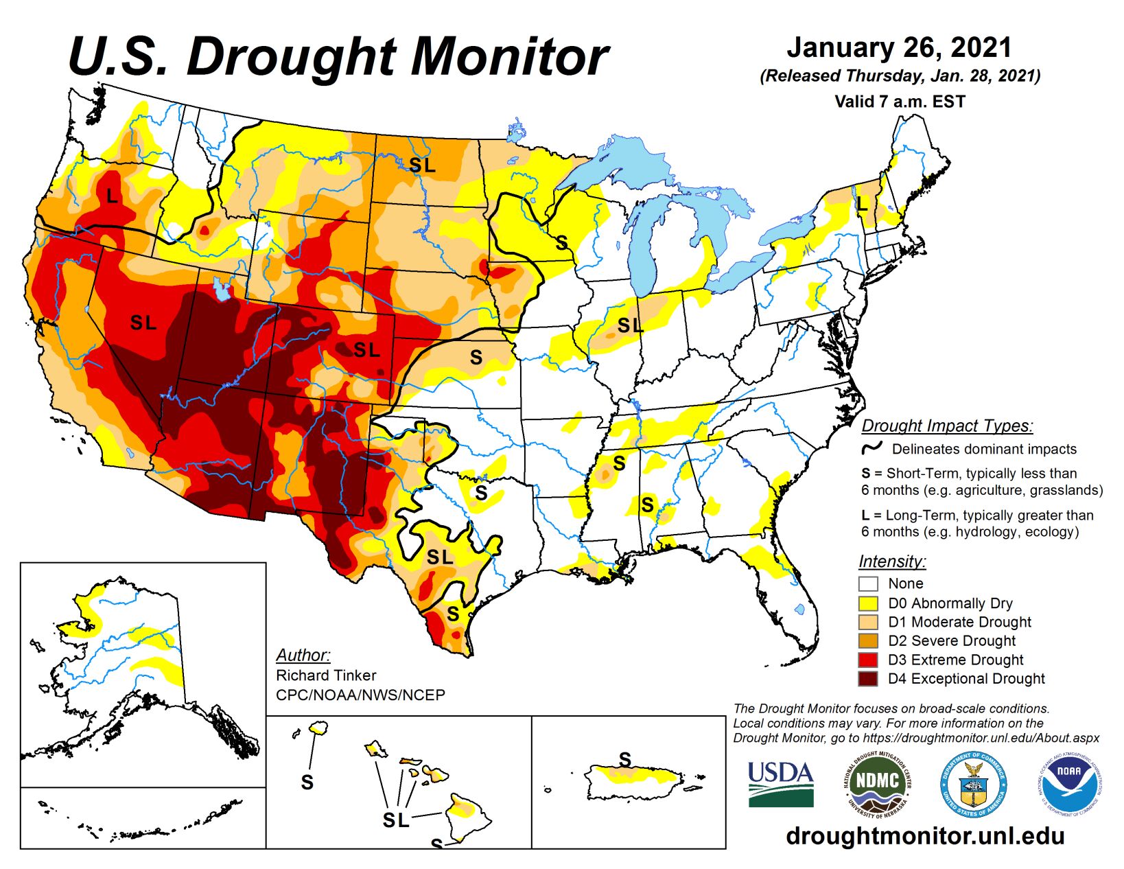
Much of the precipitation fell as heavy snow late in the period from Kansas and Nebraska to the lower Great Lakes. Amounts topped one foot at scattered spots across southwestern Iowa and southeastern Nebraska, with Omaha reporting just under a foot. Small areas of moderate precipitation were observed in some areas to the lee of Lakes Erie and Ontario, but otherwise, the driest areas this week—reporting little or no precipitation—stretched along the northern tier of states from the Cascades through New England, most of the Intermountain West, the High Plains, southern Texas, Florida, the southern Atlantic Coast, the northern Ohio Valley, and the middle Atlantic States. No large, broad-scale changes were appropriate as a result, but numerous smaller-scale adjustments were introduced.
High Plains
Moderate precipitation and/or heavy snow hit eastern Nebraska and Kansas, and isolated but heavy precipitation fell on some of the higher elevations of Colorado. Other areas received light amounts at best. Decent snowpack and recent heavy precipitation in the highest mountains led to some improvement in the protracted D2-D4 in a few ranges in north-central and south-central Colorado. Areas farther north experienced another dry week, resulting primarily in a fairly broad expansion of severe drought into northeastern Wyoming and the western Dakotas.
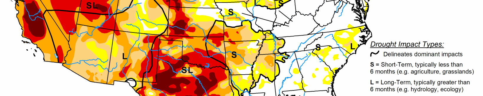
South
Moderate to heavy precipitation fell on swaths of Tennessee and the lower Mississippi Valley, bringing improvements to some of those regions. But the precipitation was not widespread, and some parts of this area that missed the heavier precipitation saw an increase in dryness and drought. Farther east, heavier precipitation was more sparsely distributed through Oklahoma, northeastern Texas, and central Texas, with the remainder of Texas recording only light amounts. Besides adjustments to short-term cry areas in response to the rainfall pattern, moderate drought persisted in southwestern Tennessee, and expanded into larger sections of northwestern Mississippi and south-central Louisiana. In addition, an area of severe drought was assessed in an area centered near Tallahatchie County, MS where 90-day rainfall totals were 8 to 10 inches below normal and 6-month totals were 10 to 12 inches below normal. In the expanded area of moderate drought in southern Louisiana, 6-month rainfall totals were as much as 15 inches below normal, but shorter-term deficits are less remarkable.
Midwest
Heavy precipitation fell on most of Kentucky and southern Missouri, with amounts dropping off farther north. Moderate amounts of precipitation—mostly areas of heavy snow—stretched across Iowa into the southwestern Great Lakes region. Elsewhere, precipitation was light at best. Predictably, the abnormal dryness introduced across Kentucky last week was removed in response to the heavy precipitation this week. Conditions also led to smaller areas of improvement in Iowa and parts of Missouri. In contrast, a dry week led to some southward expansion of dryness and moderate drought in central Illinois and Indiana. Farther north, moisture deficits have been slowly increasing across much of Wisconsin and Michigan. A swath from central Wisconsin through the Michigan Upper Peninsula and northern Lower Peninsula have received less than half of normal precipitation in the last 2 months. The cold climate this time of year has kept expansion and intensification of the dry conditions from western Wisconsin at bay, but the region will continue to be monitored, especially as we head toward a milder time of year.
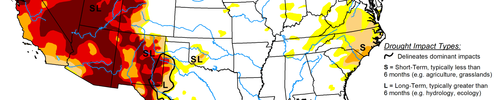
West
Persistent above-normal precipitation led to improvements across the southern tier of the region as well as the southern Oregon coast. At the same time, continued deficient precipitation led to significant expansion and/or deterioration of D3 and D4 conditions near the Nevada/California border, and D0 to D2 conditions across Montana and adjacent Wyoming. Notably, the protracted D4 conditions in central Arizona finally eased slightly as the higher elevations report above-normal precipitation and a favorably enhanced snowpack. Smaller areas of improvement due to recent increased precipitation were brought into north-central New Mexico, southwestern Arizona, and southeastern California.
Related Articles