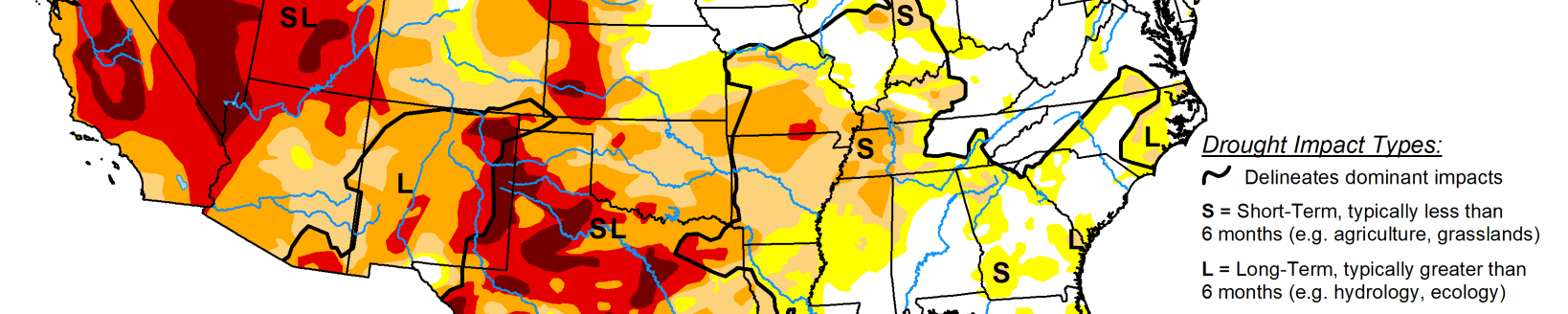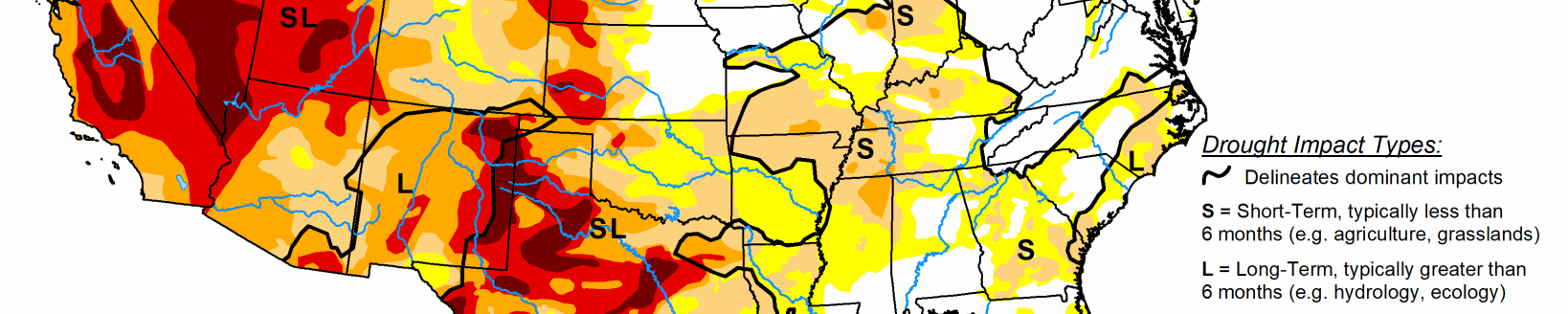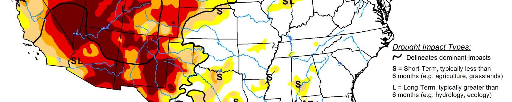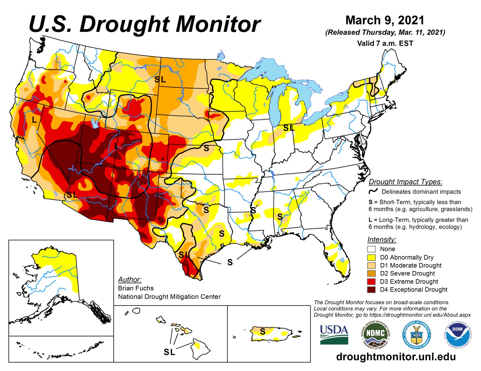
During the current period, most of the country was dry. There was some precipitation along the Gulf Coast and into the Southeast, with the greatest amounts over southern Georgia. Some storms impacted the Pacific Northwest as well, with coastal areas recording the most precipitation, especially on the coastal regions of far northwest California, southwest Oregon, and northwest Washington.
Some scattered showers were recorded over the central Plains and New England, but generally these were not associated with significant precipitation. Temperatures were warmer than normal over much of the northern Plains and into the central Plains and Midwest with temperatures greater than 15 degrees above normal in the Dakotas. This took care of any remaining snows through the region and started the spring thaw on soils. Cooler than normal temperatures were recorded over much of the East and into the South where temperatures were 3 to 6 degrees below normal for the week. Cooler than normal conditions dominated much of New England with temperatures 9-12 degrees below normal.
High Plains
Dry conditions dominated the region, outside of some showers that impacted eastern Colorado and western Kansas. Warmer than normal conditions were widespread, with the Dakotas into Nebraska recording temperatures that were 15 to 20 degrees above normal for the week.
The Army Corps of Engineers are considering conservation measures on the Missouri River basin if dry conditions continue. The 2021 calendar year runoff in the basin is anticipated at 21.8 MAF, or 84% of average. This eliminated most remaining snow in the region and began the spring thaw of soils. Due to ongoing dryness in the Dakotas, severe drought was pushed eastward this week and moderate drought was expanded to the east as well into western Minnesota.
Livestock producers in the Dakotas are already separating out their animals in anticipation of needing to sell some off due to drought in the region. Another aspect of a winter with very little snow is that fire danger has rapidly increased in North Dakota. The local National Weather Service offices have started making their fire weather products more than a month early in response to the drought conditions. So far, 33 fires have burned more than 20,000 acres in North Dakota. In Kansas, abnormally dry and moderate drought conditions were pushed to the east in response to the most recent dryness in the region and above-normal temperatures.
Midwest
Most of the region was warmer than normal for the week, with areas of the upper Midwest 15 to 20 degrees above normal for the week. Almost the entire region was dry this week, continuing a pattern of dryness over the last month. As the spring thaw continues, the warmth and dryness has allowed for expansion of abnormally dry conditions over northern Ohio, northern Indiana, Michigan, northeast Iowa, as well as in central and southern Missouri. Moderate drought was expanded over northern Minnesota and a new area of moderate drought was introduced in southeast Michigan and northwest Ohio. Outside of Kentucky, the region has been dry and will need to be watched closely for further degradation if this continues, especially as we go further into spring.
South
Temperatures were mixed in the region. Most of Texas and Oklahoma saw temperatures up to 3 to 6 degrees above normal while most of east Texas, southern Arkansas, Louisiana, and Mississippi were 3 to 6 degrees below normal. Dry conditions dominated the region with only portions of northern Oklahoma seeing any above-normal precipitation. Hay prices remained firm in the region with low hay stocks, due to drought, and producers needing to feed more during the recent cold snap in February.
During this period, drought expanded and intensified over most of Texas and western Oklahoma where a mix of both short- and long-term issues are still embedded. A new area of exceptional drought was introduced over south Texas. In Louisiana, Arkansas, and Mississippi, abnormally dry conditions were expanded based on the short-term dryness in portions of those states missing out on recent rains. Abnormally dry conditions were also expanded over much of eastern Oklahoma and east Texas as the area continues to dry out.
West
Much of the region was dry this week with only areas of western Montana, northern California, southwest Oregon, and northwest Washington recording above-normal precipitation. Coastal areas were generally below normal for temperatures and most of the rest of the West was 3 to 6 degrees above normal. Water conservation measures are already beginning, with the Klamath County commissioners declaring a drought on the Klamath Basin as inflows into Upper Klamath Lake were some of the lowest in decades.
As current snow data came in for December through February, some improvements were made in those areas with good seasonal snow accumulations and where the other indicators supported it. In Montana, moderate drought was improved in the southwest and south central portions of the state while severe drought was pushed farther to the west in the eastern portion of the state. Wyoming had improvements to moderate, severe, and extreme drought over the northern portions of the state. The Taos region of New Mexico also had improvements to the extreme and exceptional drought based upon the good snows in the Sangre de Cristo Mountains. Severe drought was pushed farther west along the California and Nevada border. North central Nevada also had some improvement to the extreme drought over the region based on the current water year data while portions of the severe drought in northeast Oregon also were improved based upon the current water year.