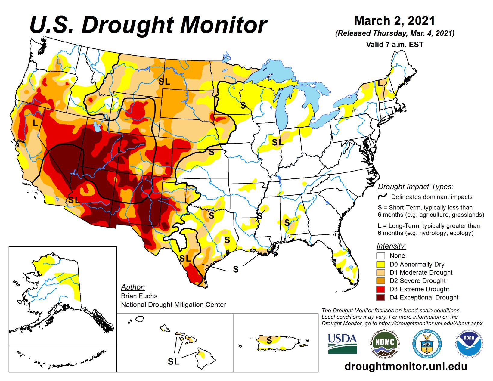
The current U.S. Drought Monitor period was highlighted by a large swath of heavy rain that started in northeast Texas and progressed northeast into the Mid-Atlantic. In this area, widespread reports of 200% to 400% of normal precipitation took place, with some areas of Kentucky having widespread 6- to 8-inch amounts.
Dry conditions dominated much of the West and especially the Southwest and into the Plains. Some active weather in the Pacific Northwest and northern Rocky Mountains brought with it rain and snow, helping to boost seasonal snow totals. Temperatures during the week were cooler than normal over the West with departures of 6 to 9 degrees below normal widespread, while temperatures were above normal from the Plains eastward with departures of 9 to 12 degrees above normal over much of Alabama.
High Plains
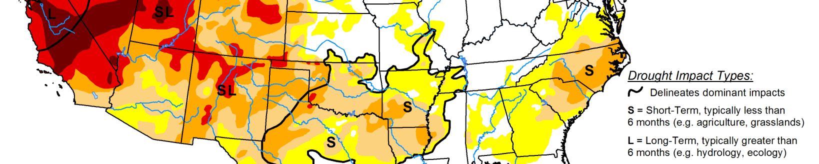
Dry conditions dominated the region, with only portions of central South Dakota, central and eastern North Dakota, portions of the High Plains in eastern Colorado and central Wyoming recording above-normal precipitation. Temperatures were above normal over most of the area, with below-normal temperatures farther west into Wyoming and Colorado. The greatest departures were in eastern South Dakota where temperatures were 6 to 9 degrees above normal and northwest Wyoming where temperatures were 12 to 15 degrees below normal for the week. Improvements were made in north central Wyoming, where areas of extreme and severe drought were showing a good snow season to allow for a reduction in drought intensity. Severe drought was expanded in far northeast North Dakota and into far northwest Minnesota.
Midwest
Temperatures were mainly above normal through the region with the greatest departures over northern Wisconsin and the Ohio River Valley, where temperatures were 6 to 8 degrees above normal. With the above-normal temperatures and widespread rain from southern Illinois to southern Ohio, much of the remaining snowpack was diminished and the area quickly transitioned into spring-like conditions. It was dry over much of northern Missouri, Iowa, northern Minnesota and southern Wisconsin and from northern Illinois into Michigan. Some of these same areas are still holding on to drought and dryness from last fall and will continue to be monitored as we go into spring. Moderate drought was expanded over northern Minnesota this week. Areas of abnormally dry and moderate drought conditions were improved from central Illinois east into Indiana and Ohio.
South
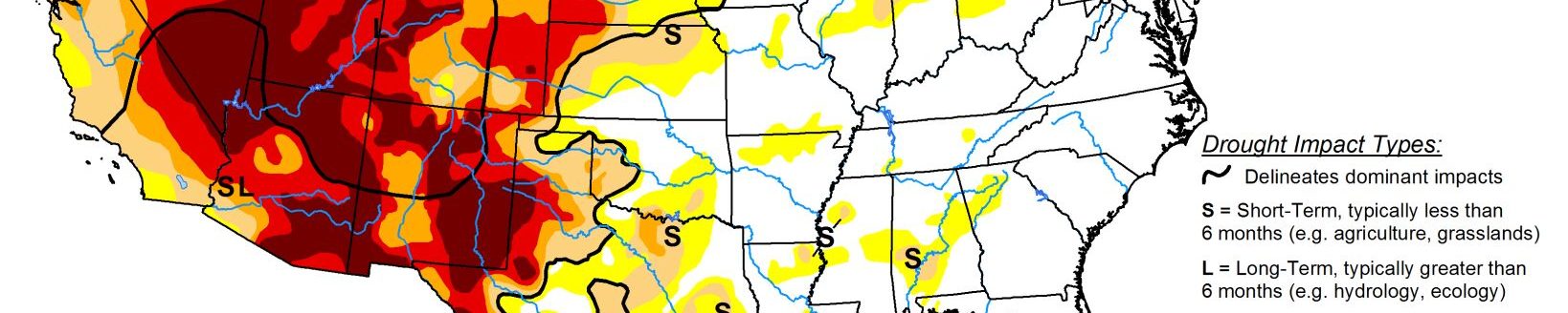
There was a contrast in temperatures over the region; west Texas and Oklahoma were below normal while areas of southern Mississippi were greater than 10 degrees above normal for the week. Heavy rains fell from northeast Texas through much of southern Arkansas, northern Mississippi, and all of Tennessee this week, with areas from southern Arkansas to western Tennessee recording 400% of normal precipitation. Dry conditions dominate most of Oklahoma and the central, southern, and western portions of Texas. Improvements were made to the moderate drought over northeast Texas and southeast Oklahoma this week. A reassessment was done over southwest Oklahoma, removing the lingering extreme drought there. Exceptional drought was removed over far west Texas as the El Paso area had recorded enough precipitation recently to allow for improvement in intensity. Much of Texas saw degradations with dryness, especially over the last 4 months, dominating the indicators. Coupled with the dryness, the recent cold snap also has impacted winter wheat, with the regional agronomist stating that the drought has probably caused more loss to winter wheat across the region than the recent weather events. Early estimated losses from the recent winter storm are at least $600 million, with $230 million in damages to citrus, $228 million to livestock, and $150 million to vegetable crops in Texas. An area of extreme drought was added in the far western panhandle of Oklahoma, bridging a gap where extreme drought was being depicted in both New Mexico and Colorado.
West
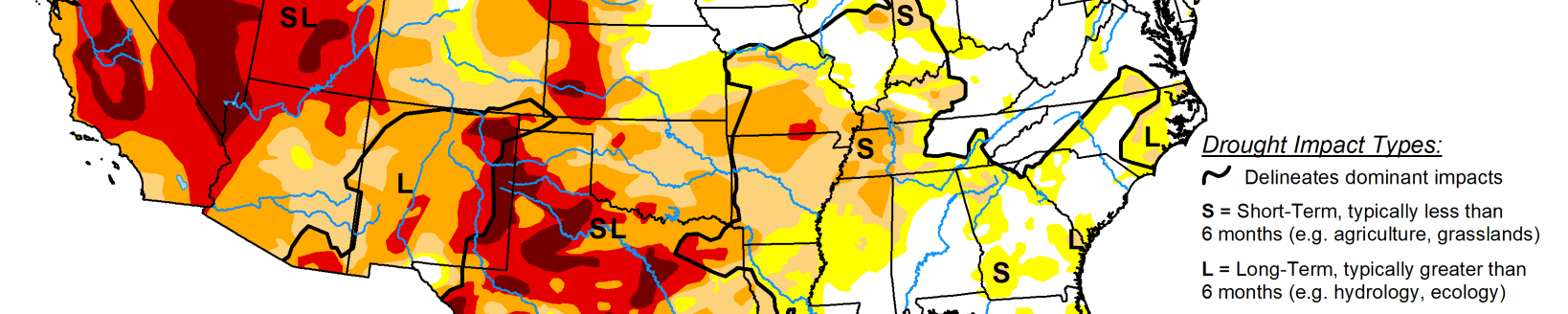
Dry conditions dominated areas from California to New Mexico with just a few pockets of above-normal precipitation over central Colorado, central Wyoming, the Pacific Northwest, and northern Montana. Temperatures were cooler than normal over much of the region with much of the Great Basin and into Wyoming recording temperatures 9 to 12 degrees below normal. Improvements to abnormally dry, moderate and severe drought conditions were made in Idaho while abnormally dry conditions were improved over western Montana. Eastern Montana conditions continued to deteriorate with an expansion of moderate and severe drought this week. A recent winter storm in and around the Denver metro area and areas to the west allowed for improvements to the extreme drought conditions there as snow totals for the current water year were up over 100%.
Related Articles