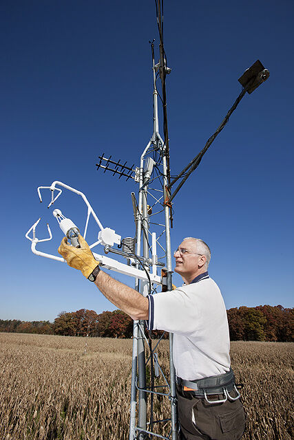
Scientists with the Agricultural Research Service have teamed up with NASA to use satellites to monitor the water cycle on Earth, specifically "evapotranspiration"—the amount of water that enters the atmosphere through evaporation and transpiration from plants. Transpiration occurs during photosynthesis when plants take up carbon dioxide and release oxygen.
That information is especially important for farmers because the data help them get the most from their farms and ranches.
"Evapotranspiration is an integral part of the water, carbon, and energy cycle of our water, soil, plant, and climate system," said Bill Kustas, research hydrologist at the ARS Hydrology and Remote Sensing Lab in Beltsville, Maryland. "Most precipitation returns to the atmosphere in the form of ET, which accounts for two-thirds of the global annual average precipitation. Knowledge of ET is critical for monitoring plant and crop water use and stress, loss of water from lakes and reservoirs, and is essential for scheduling irrigation to maintain proper crop growth and development."
NASA’s satellites track plant growth, cover and biomass, land surface temperature, and soil moisture—all key elements to ET and plant health. ARS scientists develop models from this information to map ET and plant/crop water status so farmers can maintain proper crop growth and development.
How can a satellite collect that type of information from so far away? According to Kustas, sensors on the satellites measure both reflection and emission of electromagnetic radiation from the land using visible, infrared, thermal-infrared, and microwave wavelengths. The data from these sensors provide unique information about water, soil, and plant properties and states.
"All plants transpire liquid water into water vapor that cools the plant so it can maintain a temperature range that is optimal for photosynthesis and promote efficient plant growth and development," Kustas said. "This leads to the production of maximum crop yield."
If the ET rate is not high enough, the plant will undergo stress. In the worst-case scenario, without any available water, plants wilt and die. Kustas said that farmers can avoid this by irrigating crops, but this can reduce water available for other uses, like municipal use and maintenance of healthy ecosystems. Knowing the actual ET rate helps farmers to better determine how much irrigation is needed to maintain healthy crops while reducing over-application and pumping costs.
Ranchers can also benefit from satellite ET mapping. "Ranchers can better manage the land’s grazing potential by moving herds or reducing herd numbers before overgrazing can affect land health and future productivity," Kustas said.
"Water, specifically the amount and use of root zone soil moisture or plant available water, is the most critical limiting factor in agricultural productivity worldwide," he said. "ET from satellite remote sensing is particularly important for global food security assessment, especially in water-limited regions that have little data to monitor crop conditions and project future yields."