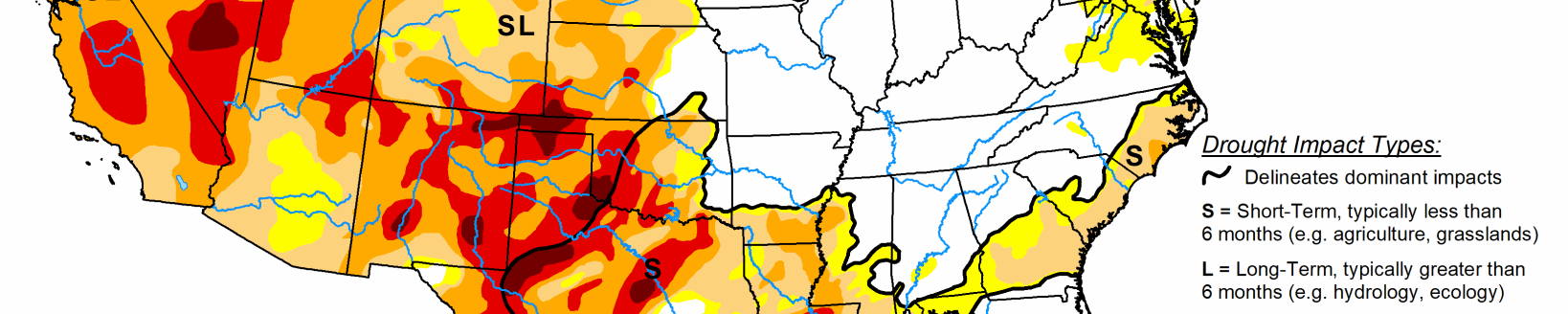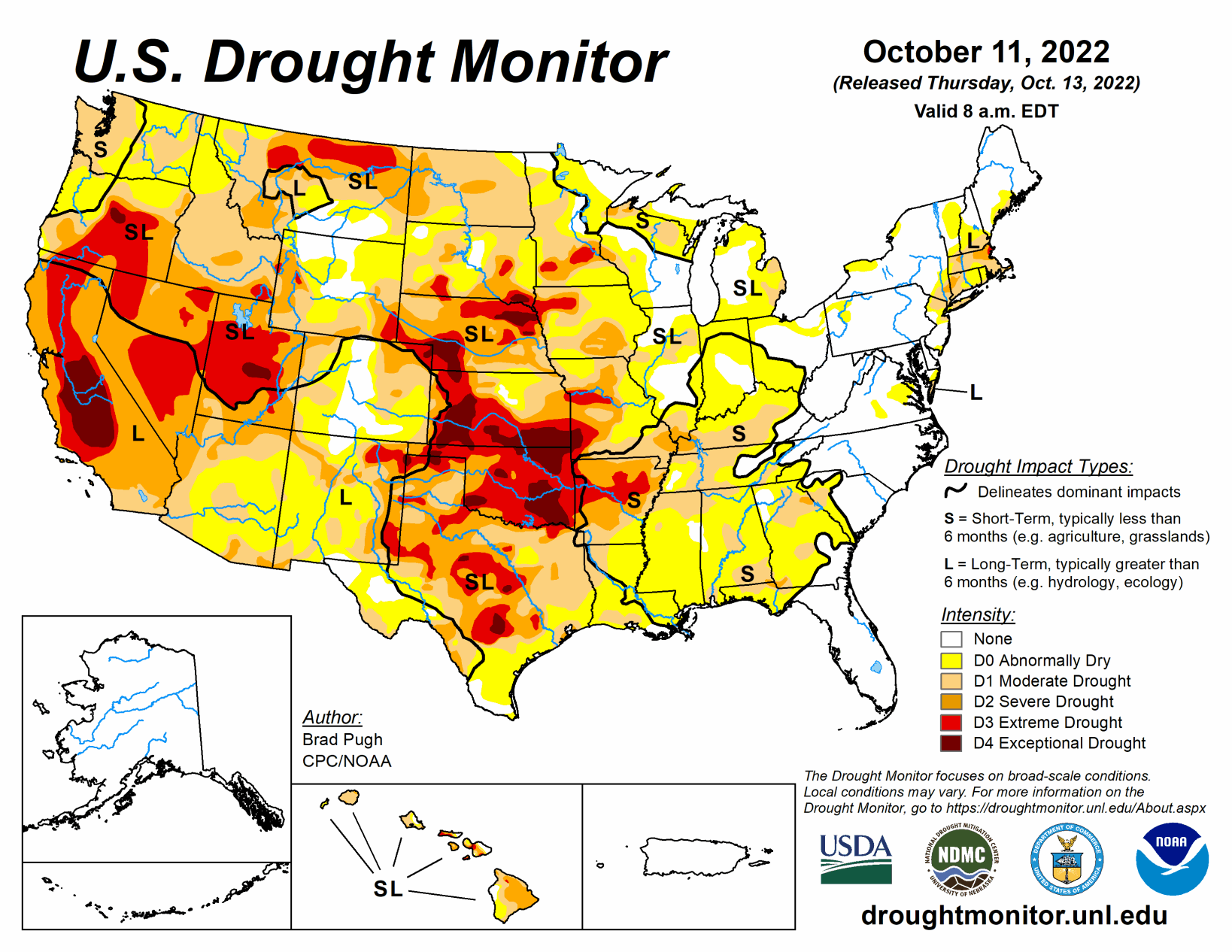
Following a drier-than-normal September for a majority of the contiguous U.S., this dry pattern continued into early October for many areas. Therefore, drought coverage increased and intensified throughout the Pacific Northwest, Great Plains, Ohio River Valley, and Southeast.
From Oct. 4 to 10, heavy rainfall (1 to 3 inches) was limited to the northern Mid-Atlantic, southern New England, and parts of the Southwest. New Mexico was especially wet this past week and this much above-normal precipitation extended eastward into west Texas. 7-day temperatures, ending on Oct. 10, averaged above-normal across the West. Cooler-than-normal temperatures were observed from the Mississippi Valley to the East Coast with the first freeze of the season affecting parts of the Midwest.
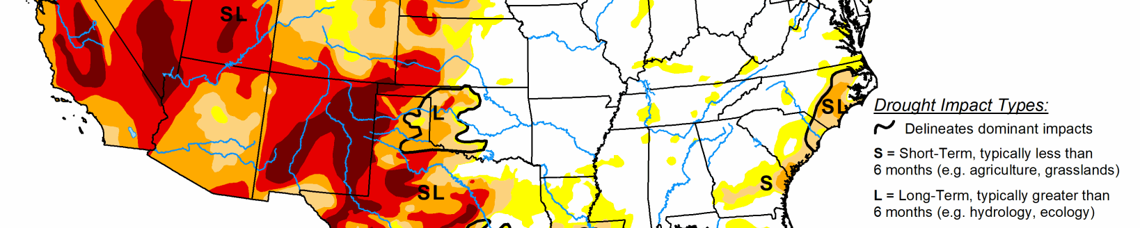
South
Widespread, heavy precipitation (1 to 3 inches) during early October along with a wet 2022 Monsoon supported large-scale improvements across New Mexico. These improving drought conditions extended eastward to include western Texas. During the past week, rainfall amounts ranged from 2 to 4 inches, locally more, across the Davis Mountains, Trans Pecos, and southern Permian Basin of western Texas. Farther to the east across central and eastern Texas, another week of degradations were made.
Based on 120-day, soil moisture, and impact reports, the coverage of D3 (extreme) to D4 (exceptional) drought was expanded across parts of Oklahoma. Rainfall was not enough to justify any improvements in southwestern Oklahoma with little to no response in soil moisture. Increasing 30-day deficits resulted in a 1-category degradation across parts of Arkansas, Louisiana, Mississippi, and Tennessee. The expanding D3 area in Arkansas was based on 30 to 60-day SPI and soil moisture indicators.
Midwest
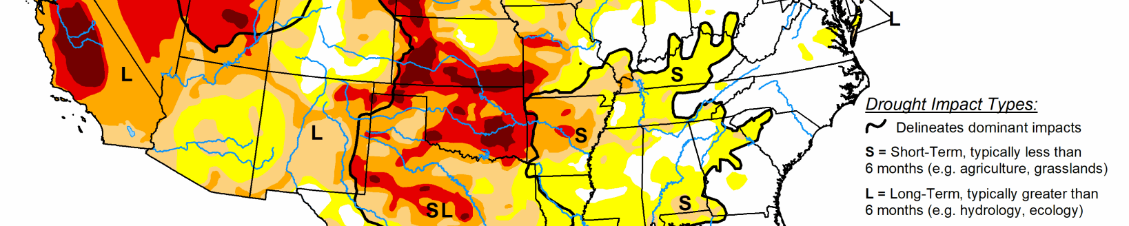
Increasing short-term precipitation deficits and declining soil moisture supported an expansion of abnormal dryness (D0) across Ohio, Indiana, and Illinois. This increase in D0 coverage is consistent with 30 to 60-day SPI values. Moderate drought (D1) was also expanded across Illinois based on 30-day SPI along with streamflows along the Kankakee, Illinois, and Vermillion Rivers. A broad expansion of D1 was required throughout Kentucky due to a prolonged dry spell since August.
This D1 coverage is consistent with 60-day SPI and is also supported by NASA SPoRT soil moisture. According to the Paducah National Weather Service Office, Paducah had its driest Aug. 1 to Oct. 11 on record with only 2.12 inches of precipitation. Multiple reports from the following counties in Kentucky (Livingston, Fulton, Webster, Marion, Carlisle, Trigg, and Ballard) indicate poor pastures and low ponds. In addition, low flows persist along the lower Ohio River.
Thirty- to 120-day SPIs supported 1-category degradations throughout much of the southern two-thirds of Missouri along with parts of Iowa. The extreme drought (D3) expansion in northwestern Iowa was based on longer-term SPIs and very low soil moisture percentiles. South of Lake Superior, severe drought (D2) was expanded due to a very dry summer and 120-day SPI. D0 and D1 was increased across northeastern and western Wisconsin based on SPIs at various time scales.
High Plains
Thirty- to 120-day SPI along with soil moisture indicators supported expansion of moderate drought (D1) throughout northern and eastern North Dakota. Based on a consensus of indicators, severe drought (D2) was added to central North Dakota. Severe (D2) to extreme (D3) drought was expanded slightly across east-central Nebraska based on SPI at multiple time scales and soil moisture. Likewise, these indicators supported a 1-category degradation in parts of south-central and southwestern South Dakota.
Impact reports from these areas of South Dakota include: zero soil moisture down to 3 feet on several fields and low stock ponds. The most widespread degradations made to Kansas were in northeast and east-central parts of the state, consistent with 90- to 120-day SPEI along with soil moisture indicators. An expansion of abnormal dryness (D0) and moderate drought (D1) was made to southeastern Colorado, based on 30-day SPIs, declining soil moisture and streamflows, and very dry VegDRI. Conversely, heavy rainfall (1 to 2 inches) since the beginning of October prompted a 1-category improvement for parts of southwestern Colorado. Slight improvements were justified across northwestern Wyoming, due to positive values of 30 to 90-day SPI and favorable soil moisture response from recent precipitation.
West
Increasing 90-day precipitation deficits of more than 6 inches and above-normal temperatures during September resulted in the continued expansion of moderate drought (D1) across western Washington and northwest Oregon. SPI values, soil moisture indicators, and 28-day streamflows strongly support D1 in these areas.
According to the NCEI statewide rankings, Montana had its warmest July-August-September on record. Based on the 90-day SPEI along with 24-month SPI, extreme drought (D3) was expanded across northern Montana. D3 was eliminated in parts of eastern Montana due to the lack of support from SPI and SPEI values at various time scales. Based on longer-term SPIs and local feedback, 1-category improvements were made to parts of Utah along with bordering northeast Nevada.