Progress made in High Plains’ drought
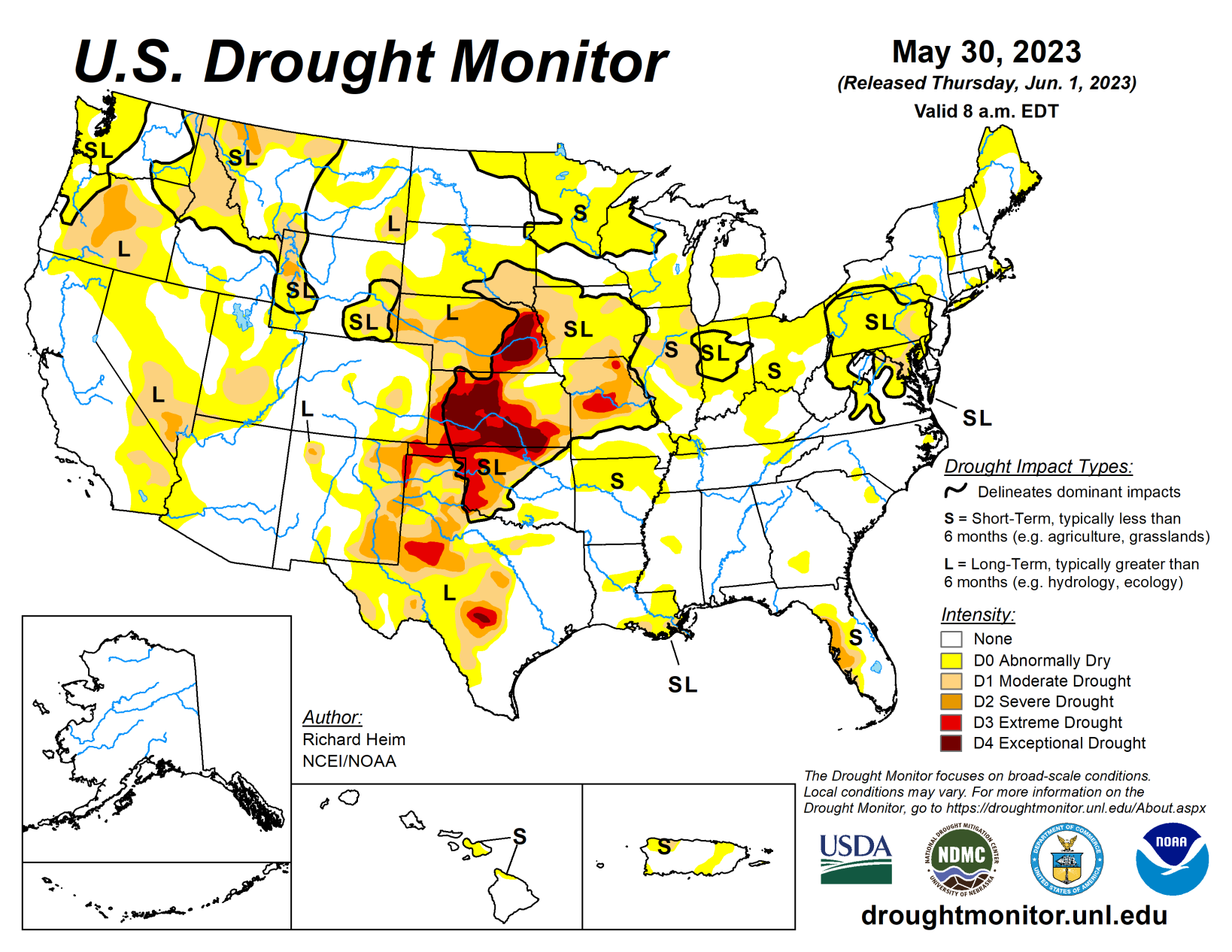
The upper-level circulation over the contiguous United States during this U.S. Drought Monitor for May 24 to 30 was dominated by three features: a trough over the West, a ridge that extended from the southern Plains to the Great Lakes, and a cutoff low over the Southeast.
This pattern resulted in targeted areas of precipitation, some of it heavy, while large parts of the contiguous U.S. received little to no precipitation. Pacific weather systems moved across the West, but their fronts stalled out when they ran into the ridge over the Plains. The northwesterly flow associated with the trough inhibited precipitation across parts of the West, so the week was wetter than normal only from the Great Basin to northern Rockies.
A southerly flow over the Plains was created between the western trough and eastern ridge. This flow funneled Gulf of Mexico moisture across the Plains. The moisture fed thunderstorms and weather complexes that developed along the stalled-out fronts and dry lines, resulting in above-normal precipitation across western portions of the Great Plains from Texas to Montana. Several inches of rain fell with some of these thunderstorms, resulting in localized flooding. Weekly temperatures averaged cooler than normal from the southern Plains to East Coast, but they were warmer than normal across the northern Plains and northern parts of the West.
Western parts of the South region were wet, while eastern parts were mostly dry. Extreme eastern Tennessee received some rain from the Southeast’s cutoff low, but dry conditions dominated across Arkansas, Louisiana, Mississippi, and Tennessee. D0 expanded in parts of these states.
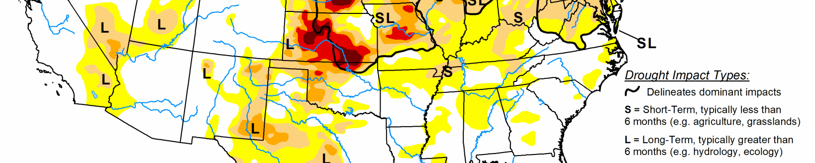
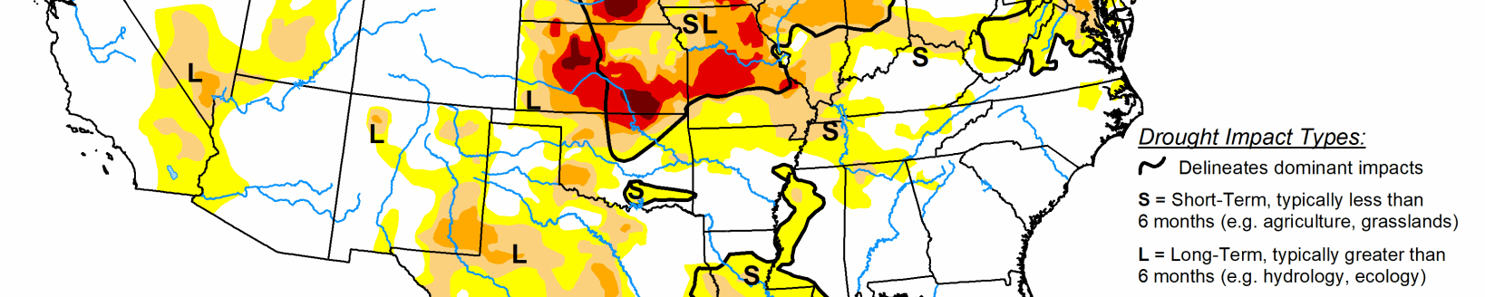
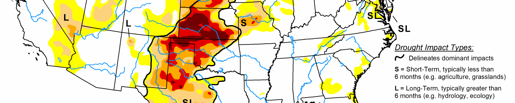
Heavy rain inundated parts of western Texas and Oklahoma, causing contraction of abnormal dryness and moderate (D1) to exceptional (D4) drought. Over 5 inches of rain was recorded at several stations in the Texas panhandle. Soils were wet, streamflow was high, and 6-month precipitation deficits were erased across much of the Texas panhandle. D3 (extreme drought) expanded in Oklahoma just east of where it rained. The May 28 U.S. Department of Agriculture data revealed 40% of the winter wheat crop in Texas was in poor to very poor condition.
Some rain fell at the northwest and southeast ends of the Midwest region this week, but most of the region received no precipitation. The Southeast’s cutoff low dropped 2 inches of rain over extreme eastern Kentucky, while thunderstorms gave parts of Minnesota up to an inch of rain. But the story for the Midwest was continued drying of soils, low streamflow, and mounting precipitation deficits over the last 1 to 3 months. Reports have been received in Indiana of lawns in yards becoming stressed and going dormant, pond levels dropping, some stress in pastures, and mesonet stations reporting soils becoming drier.
In Illinois, there were reports of dry/dormant lawns, cracked soil, visibly stressed young trees and shrubs, and unusually low stream and pond levels; corn and beans were doing okay for now, but there were more widespread emergence issues developing from soil crusting. D0 expanded across most of the region; D1 grew in Illinois, Iowa, and Missouri; D2 (severe drought) expanded in Iowa and Missouri; and D3 grew in Missouri.
Soils rapidly dried across the Midwest. As of May 28, USDA data revealed more than half of the topsoil moisture was short or very short in Iowa (50%), Missouri (62%), and Michigan (68%), and 40% or more was short or very short in Wisconsin (45%), Ohio (45%), Illinois (42%), and Indiana (40%).
Locally heavy rain fell over western parts of the High Plains region while eastern parts had a dry week. Several stations in southwest Nebraska received over 5 inches of rain during this USDM week, with 10 inches reported near McCook. The rain replenished soil moisture, but caused extensive flooding. The rain caused a 2-category improvement in drought conditions in southwest Nebraska.
Two inches or more of rain fell in localized parts of northeast Colorado, western Kansas, northeast Wyoming, and the western Dakotas, prompting pullback of abnormal dryness or moderate to exceptional drought. But continued dry conditions in the eastern portions of the region resulted in expansion of abnormal dryness or moderate drought in the Dakotas, abnormal dryness to extreme drought in eastern Kansas, and severe to exceptional drought in eastern Nebraska.
Based on May 28 USDA data, 69% of the winter wheat crop in Kansas and 51% in Nebraska was in poor to very poor condition, and more than 40% of the topsoil moisture was short or very short in Nebraska (57%), Kansas (50%), and South Dakota (46%). More than two-thirds of the subsoil moisture was short or very short in Nebraska (75%) and Kansas (68%).
Half an inch of rain fell over parts of northern California and from Nevada to the northern Rockies, with much of Montana receiving 2 or more inches. Eastern parts of New Mexico were soaked by 2 to locally over 4 inches of rain, with over 7 inches recorded near Texico. But the rest of the southern third of the West region, and most of Oregon and Washington, received little to no precipitation. D1-D3 were pulled back in eastern New Mexico, and D0-D2 were trimmed in Montana. But D0 expanded in parts of Oregon and Washington where the last 30 days have been unusually warm and dry, soils were drying, and streamflow was decreasing, and D0-D1 expanded in Yellowstone National Park and adjacent southwest Montana. May 28 USDA data revealed 60% of the topsoil moisture in Oregon, 52% in New Mexico, and 48% in Washington was short or very short.
Looking ahead
For June 1 to 6, an upper-level ridge will dominate the middle part of North America, bringing above-normal temperatures to the north central states and Pacific Northwest. Upper-level troughs and closed lows will cover much of the West and New England, bringing cooler-than-normal temperatures to New England and southern parts of the West to the southern Plains.
Like the last seven days, a southerly flow of Gulf of Mexico moisture will feed showers and storms that develop from the Rockies to the Mississippi River during the next seven days. An inch or more of rain is forecast from the southern Plains to northern Rockies, with locally 4 inches or more from the Texas panhandle to southern Kansas, and locally 2 inches or more in parts of Colorado to Montana.
For June 6-14, cooler-than-normal temperatures are forecasted across southern portions of the West, the southern Plains, and from the Appalachians to New England. Odds favor wetter-than-normal conditions across the West, southern Plains, western portions of the central to northern Plains, and the southwest half of Alaska, with drier-than-normal conditions across the Great Lakes, Upper Mississippi Valley, Ohio Valley, and northeast Alaska.