El Niño soaked the Southern Plains, will La Niña dry them up?

After months of drought and lack of moisture, Mother Nature finally flipped the switch last summer and now some areas of the Southern Plains could even be described as swampy. Weather conditions can go from one extreme to another on this planet and it is all due to a climate pattern called El Niño-Southern Oscillation, or ENSO and its three weather phases: El Niño, La Niña and neutral conditions.
For the High Plains, La Niña conditions usually mean hot, dry weather conditions that often lead to drought. El Niño is the opposite and often leads to excess moisture. Currently, the Southern Plains are experiencing an El Niño pattern following an extended La Niña, which was detrimental to many in the agriculture industry.
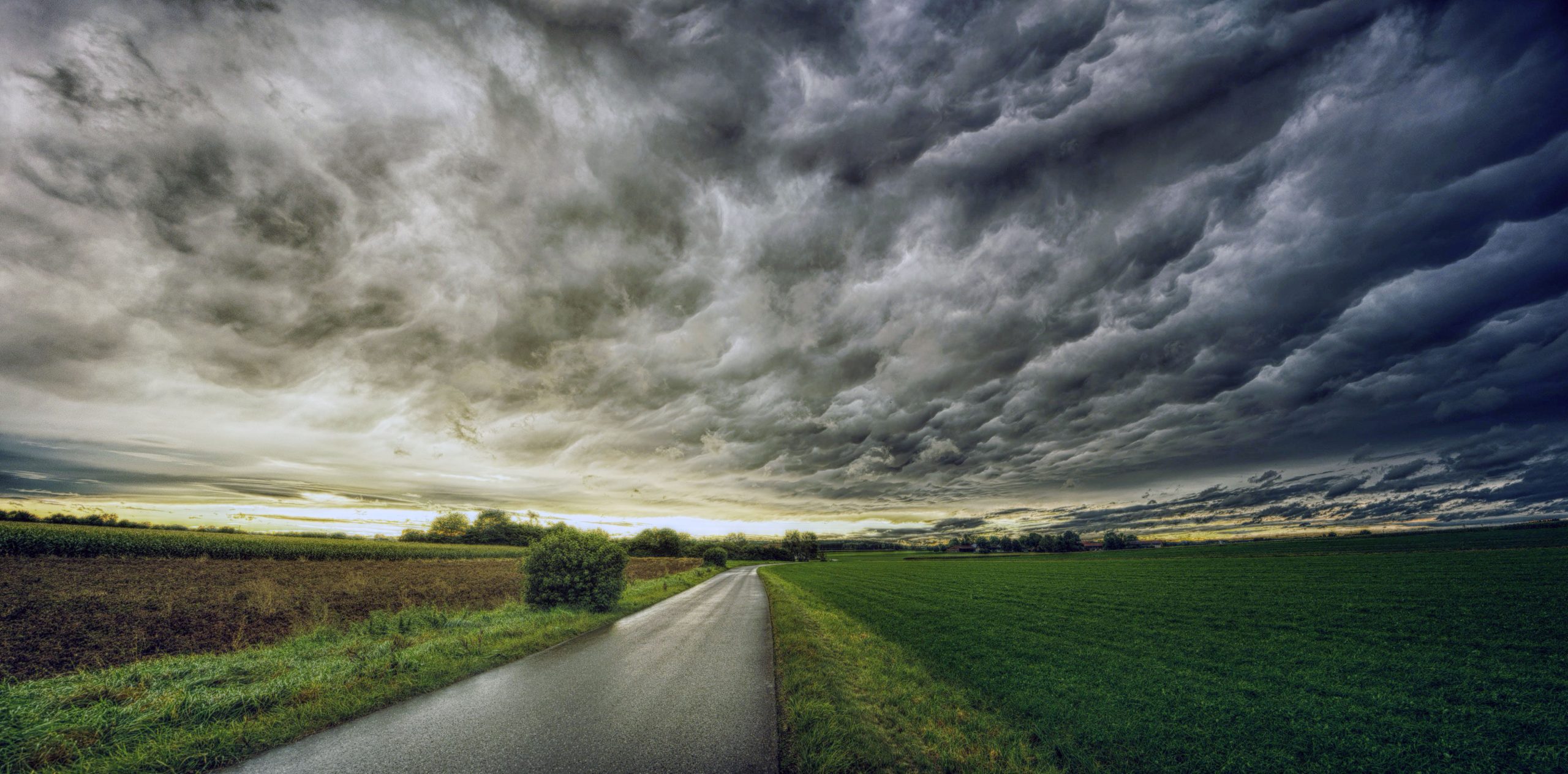
Although this time of El Niño has healed drought damaged areas and replenished the water table, the next concern is what pattern to expect to take over after El Niño. The above photo shows a storm front that was taken by Johannes Plenio via Pexels.
“The current El Niño is forecast to fade away as we get into spring and transition into ENSO-neutral conditions,” said Gary McManus, Oklahoma State climatologist. “It has already started to weaken, but we could see its impacts continue through April.”
Last year the rain would not fall on the struggling wheat crop, but then all of a sudden, the heavens opened and turned wheat harvest into a mudslinging fest with weeds and poor yields appearing consistently across the wheat belt.
What’s ahead
The memory of last year’s harvest from hell provokes the question, what are we in for this year? McManus noted that flash drought is always a concern for Oklahoma, in particular, as it transitions to the warm season, but he expects there to be a decent soil moisture profile stored up to help the wheat crop through some minor dryness later in the growing season.
“If the rains shut off completely, then we’d start to worry,” he added.
McManus said the latest outlook from the Climate Prediction Center indicates a transition to ENSO-neutral, for at least a couple of 3-month periods, but then it is expected to quickly transition back to La Niña. He described the predictions as “not too unusual.”
“La Niña events tend to occur after strong El Niños more than 60% of the time,” he said.
McManus expects La Niña conditions to develop mid-summer of this year, if not earlier.
“CPC issued a La Niña advisory on Feb. 8, in response to the possibility of that La Niña forecast coming to fruition,” he explained. “We’re currently behind what’s considered ‘the spring barrier,’ which means ENSO forecasts are a bit more difficult until you get past spring, but it does appear the Equatorial Pacific waters off the West Coast of South America are headed in that direction.”
Patterns change
As for the effect these changing weather patterns will have on farmers and ranchers across the Plains, McManus has some concerns of another drought with the changing weather patterns, but says it is not inevitable.
“The ground does have a lingering memory of recent drought, so it won’t be as difficult to see the dry hazard return,” he said. “La Niña events don’t guarantee dry and warm weather from mid-fall through mid-spring, but they certainly tilt the odds towards those types of climate patterns. Drought should always be on the mind of ag producers when La Niña is a possibility.”
Lacey Vilhauer can be reached at 620-227-1871 or [email protected].


