MU takes to the skies to stamp out weeds
University of Missouri Extension is taking to the skies to identify and map invasive weed species in one of mid-Missouri’s prized native prairie areas.
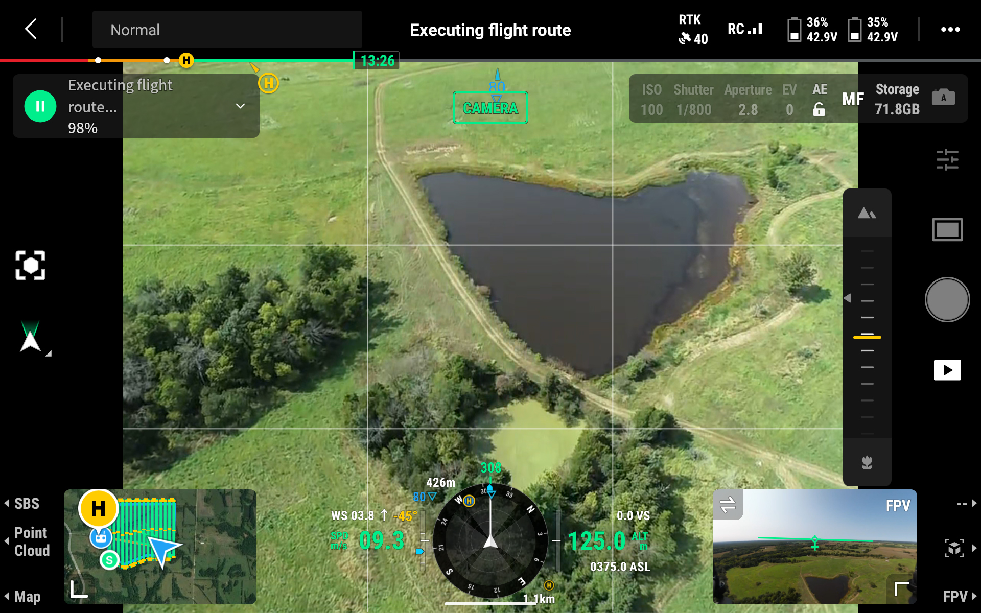
MU Extension state natural resource specialist Michael Sunde is using drone-based lidar and imagery along with satellite imagery and machine learning to make 3D maps of vegetation and land cover at Prairie Fork Conservation Area, which is in eastern Callaway County near Williamsburg. Data gathered during the two-year project will be extrapolated to create maps and 3D forest models to locate unwanted plant species. This is the first time a drone has been used to make precision maps at the location, Sunde said. Aerial photos previously taken provided good information but lacked the detail that a drone flying closer to the ground can provide.
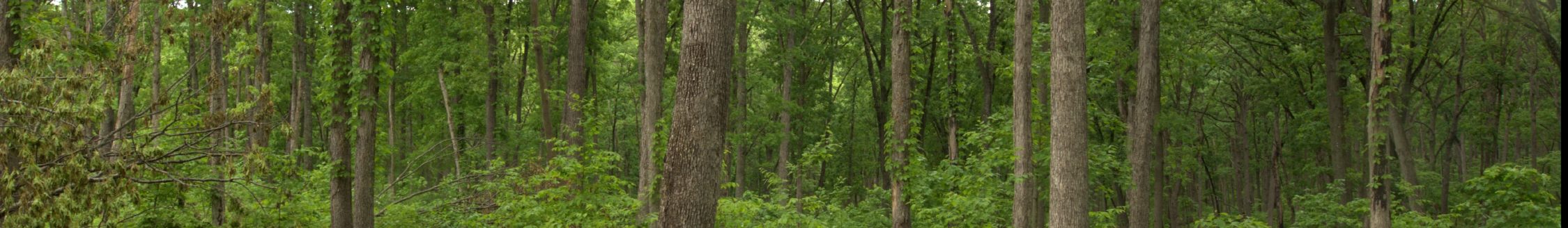
The information will help conservationists rid the natural prairie grasslands of two invasive weeds—bush honeysuckle and sericea lespedeza—that edge out preferred grasses.
PHOTO: MU Extension state natural resources specialists are using a drone to map vegetation and land cover at the Prairie Fork Conservation Area near Williamsburg. (Photo courtesy of Michael Sunde)