
invasive weeds

Biz News, Machinery, Soil Health, Tools and Tech
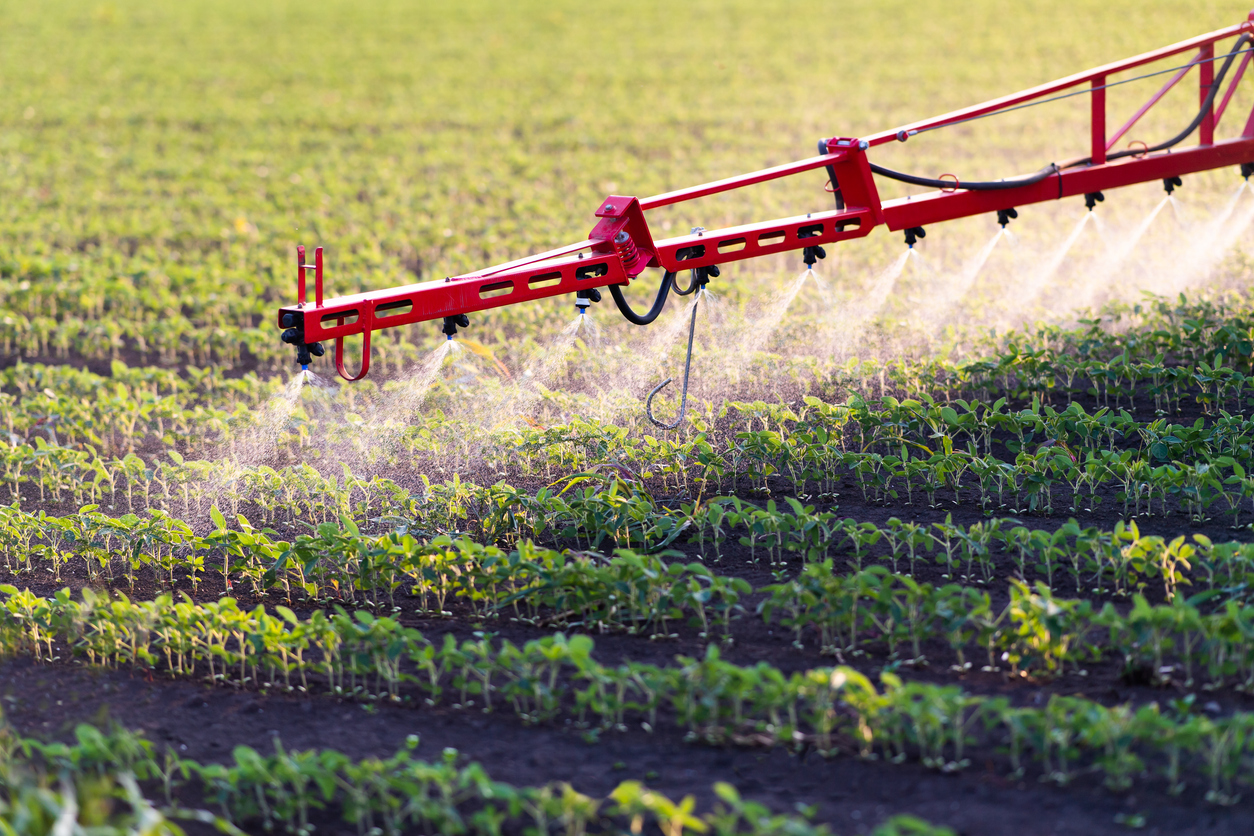
Albaugh introduces Malibu Plus D herbicide to range and pasture market
Albaugh launches Malibu Plus D herbicide for rangeland and pasture weed control, pending final state registrations nationwide. Read More