Heavy rain and thunderstorms improve drought conditions in central US
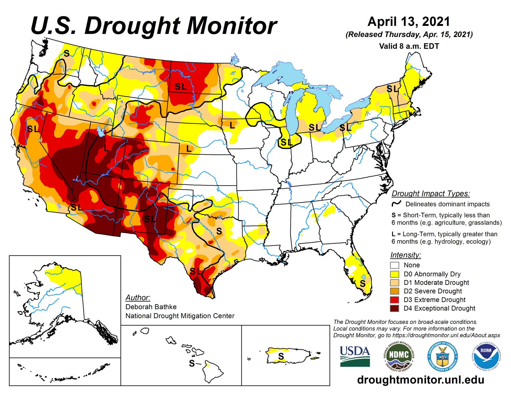
Last week’s storm system brought heavy rain and thunderstorms to much of the central and eastern U.S., bringing drought condition improvements to parts of the Midwest and eastern Plains. Meanwhile, warm, dry conditions persisted in the West and New England, resulting in deteriorating conditions. Parts of the Southwest are now experiencing record levels of dryness for the last 12 months. In New England, year-to-date precipitation ranks in the top 10 driest on record.
South
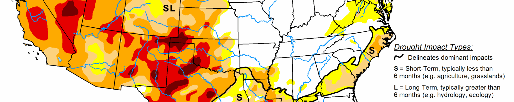
Showers and thunderstorms across the South last week led to slight improvements to D0 (abnormally dry) and/or D1 (moderate drought) in Louisiana and East Texas. While the rain helped some, shortages still exist at 60 to 90 days. Having missed out on the rainfall, conditions continued to deteriorate in south-central Oklahoma and in North, South and West Texas, where another week of warm, dry weather continued to build long-term deficits and further dried out soils.
Midwest
Widespread precipitation across the Midwest led to broad improvements to drought across the region, erasing moisture deficits and improving soil moisture and streamflow. Locally heavy totals (more than 2 inches) led to a two-category improvement in western Minnesota. These short-term gains also finally chipped away at the D3 (exceptional drought) area in northwestern Iowa that had been in place since October 2020. Cooperative Extension notes that tile lines are running again and water is standing in roadside ditches. Soil moisture has also started to rebound.
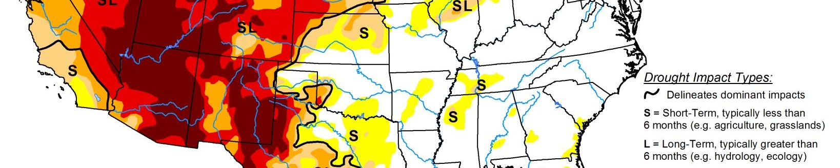
High Plains
The High Plains generally saw cooler than normal temperatures and widespread precipitation over the last week. Locally heavy amounts of rainfall (more than 2 inches) helped erase long moisture deficits in eastern South Dakota and southeastern North Dakota, resulting in improvements to moderate drought. In the remainder of the region, precipitation wasn’t enough to prevent worsening conditions. Moderate drought (D1) expanded in South Dakota and extreme drought (D3) expanded in both North and South Dakota to reflect the growing moisture deficits and its effect on soil moisture. Agricultural field reports indicate planters are being idled, except in the southeastern corner of the state, and cattle are being culled.
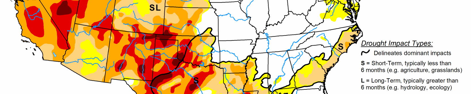
West
Once again this week, much of the West remained dry. Where precipitation did fall, in the Pacific Northwest and the Northern Rockies, it either missed the drought-inflicted areas or wasn’t enough to overcome shortages. The only exception was in north-central Wyoming and southern Montana, where last week’s snowfall lessened precipitation deficits and improved streamflow and soil moisture resulting in a one-category improvement to drought.
Other changes to this week’s map include an expansion of D1 in western Wyoming, and D1, D2 and D3 in eastern Montana reflect the lack of precipitation over the last two to three months and its effect on soil moisture and streamflow. In the Southwest, D4 was expanded over southeast Arizona as another week of hot, dry weather showed its impact on streamflow, soil moisture, and vegetation. It’s worth noting that high temperatures ranged from 10 to 20 degrees above normal last week and that many areas are now at record dry levels for the past 12 months.