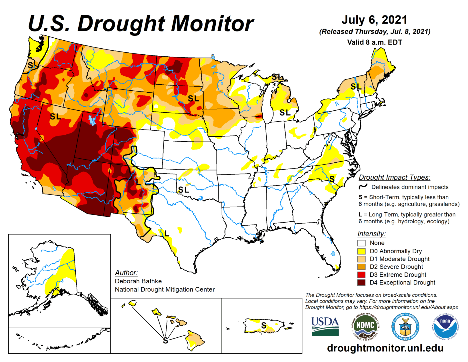
Another week of hot, dry weather in the Pacific Northwest, Northern Rockies, Northern Plains, and Upper Midwest led to the expansion of drought conditions. Meanwhile, monsoon thunderstorms brought wet weather to eastern New Mexico and West Texas and resulted in large one-category improvements. Showers and thunderstorms associated with a slowly moving cold front helped improve conditions in the Great Lakes region and eastern U.S. Drought expanded in parts of the Mid-Atlantic that missed out on the heaviest rain.
High Plains
Another hot, dry week across the northern tier of the region, coupled with isolated showers, brought a mix of degradations and improvements. Drought expanded in parts of Wyoming, North Dakota, South Dakota, and Nebraska that missed out on the heaviest rainfall. Soils remain dry with USDA reporting that 92% of South Dakota and 76% of North Dakota’s topsoil moisture is short to very short, leading to limited hay production and stunted crop growth.
Land enrolled in the Conservation Program has been opened to haying and grazing in some areas and producers are needing to monitor toxicity levels in hay and water supplies. Drought conditions improved in parts of Wyoming and eastern Nebraska, as showers over the last two weeks helped erase rainfall deficits, improve streamflow, and replenish soil moisture. In North Dakota, rainfall is finally helping to chip away at the long-term drought that has plagued the state since fall of 2020.
South
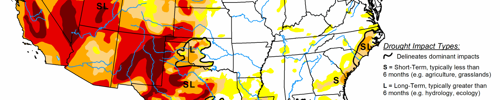
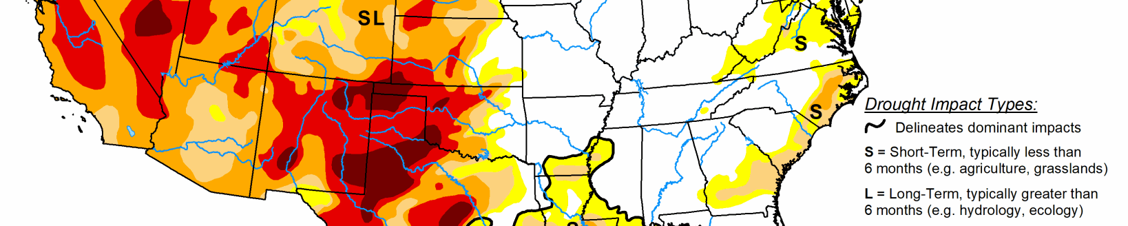
Substantial rain fell across much of the South again this week, leading to large areas of one-category improvements to remaining drought areas in Texas and Oklahoma, where rainfall deficits, soil moisture, and streamflow improved. A two-category improvement was made in far West Texas near El Paso, where more rainfall has been recorded in the last nine days than in the prior 15 months.
Midwest
Wet weather continued this week over much of the lower Midwest, leaving that part of the region drought-free with pockets of abnormal dryness (D0). Across the northern tier, drought expanded in Minnesota and Iowa as high temperatures of 6 to 9 degrees above normal, combined with little or below normal rainfall, dried out soils and stressed vegetation. Rainfall deficits of 4 to 10 inches are present over the last 90 days.
West
Another week of hot, dry weather once again led to worsening drought conditions across the Northwest. Temperatures as high as 17 degrees above normal set more high temperature records across the region. The excess heat continued to increase evaporative demand, dry out soils and vegetation, and strain water resources. Many areas in the Northwest saw degradations and pacts across the region continue to build. In Oregon, where drought intensified and expanded across severe drought (D2) to exceptional drought (D4) levels, soil moisture, streamflow, and the SPEI (a drought monitoring indicator that includes the effects of precipitation and temperature) show conditions are among the driest going back to 1895.
Dryland agriculture is suffering and fire risk has escalated. In Washington, abnormal dryness (D0) and moderate drought (D1) expanded. With nearly all of the state experiencing dryness or drought, the U.S. Department of Agriculture’s National Agricultural Statistics Servicereports as of July 4 that 84% of the state’s topsoil moisture is short to very short, significantly impacting forage production. The data show that the state’s rangeland and pasture conditions are far worse this year when compared to all other years this century.
In Idaho, which saw expansions in D1-D3 drought categories, the state drought monitoring team noted that the Big Lost River is almost out of storage and priority water use is limited to early 1884 priorities. The team also reported significant agricultural impacts to the state, including crop loss, a lack of forage, and animal deaths. Montana, which saw D1-D4 expansion, recorded less than 25% of normal precipitation in June, which is historically the highest precipitation month. Impacts include diminished forage production and infestations of grasshoppers. Much of the Southwest remained unchanged this week. Where precipitation fell, such as in Arizona, it generally wasn’t enough to improve impacts. In places where it didn’t, conditions already are at D4 or don’t yet warrant additional degradations. The only exception was eastern New Mexico, where heavy rains (about 3 to 8 inches) over the past six to 10 days began to make a dent in the long-term drought, while also contributing to flash floods in the area. According to the Albuquerque National Weather Service, water levels at Santa Rosa Lake have risen over a foot since July 1.
Looking ahead
The National Weather Service Weather Prediction Center forecast for the remainder of the week (July 8 to 13) shows tropical storm conditions and rainfall from Elsa will continue across parts of Florida and into the Southeast. Other areas expecting excessive rainfall include the Texas coast, Midwest, and Northeast. In the West, the hot weather will continue with daytime highs well into the 90s and lower 100s.
Moving into next week, the Climate Prediction Center six-to-10 day outlook (valid July 13 to 17) favors above normal temperatures across much of Alaska, the West, northern Plains and Northeast. Below normal temperatures are most likely across the Southern Plains. Below normal precipitation is expected across Alaska, the Northwest, Northern Plains, and Florida while above normal precipitation is favored along a band stretching from the Southwest, across the Midwest, and into the Northeast.