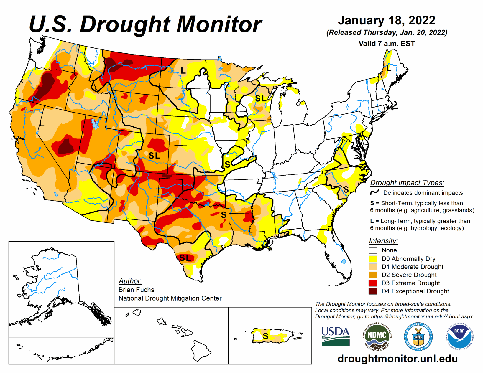
A winter storm impacted areas from the northern Plains, to the Midwest, into the Southeast and then up the east coast during the period. For many areas, this was the first time that heavy snow occurred in these regions as many have brought up “snow drought” in areas of the country where snow has been minimal. From the Missouri River west, there was very little precipitation for the week. Temperatures were warmest over the northern Rocky Mountains and Plains where departures were 10 to 15 degrees above normal. Cooler temperatures dominated the East as departures were 5 to 10 degrees below normal.
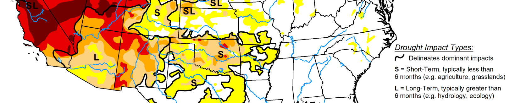
South
Most of the region was dry for the week with only portions of northern Arkansas, Tennessee, and Mississippi recording widespread precipitation, with some areas at 150% of normal or more. Temperatures were near normal to slightly above with departures of 2 to 4 degrees above normal over the panhandles of Texas and Oklahoma as well as eastern Arkansas. Coastal areas of Texas into the Delta were 2 to 4 degrees below normal. Degradation continued as most areas have been dry since the fall and temperatures have remained well above normal during this period. In Oklahoma, a new area of exceptional drought was added in the panhandle with extreme drought areas expanded to the east. Severe drought expanded in southern Arkansas and into Louisiana and Mississippi. For Texas, severe and extreme drought expanded in the central and northern portions of the state while moderate and severe drought expanded in south Texas. There was an improvement to moderate drought and abnormally dry conditions in east Texas.
Midwest
Precipitation was mixed in the region this week with the western extent of the Midwest seeing the most while other areas remained dry. The greatest precipitation for the week was from southern Minnesota into Iowa, where over 200% of normal precipitation occurred with a winter storm. Outside of Michigan, most of the rest of the region was warmer than normal with temperatures up to 3 to 6 degrees above normal. Michigan had temperatures that were 3 to 6 degrees below normal. Even with the influx of moisture to some areas associated with the winter storm, it brought the first big snow event of the season and stopped a trend of dryness. Only a few changes to the overall drought status were made this week, with some expansion of abnormally dry conditions in northern Illinois and southwest Missouri while some improvement took place along the Missouri and Illinois border.
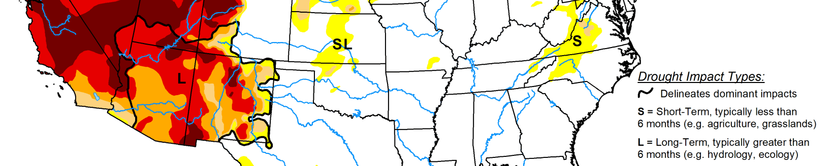
High Plains
Warmer than normal conditions dominated the region with areas of the Dakotas recording temperatures that were 10 to 15 degrees above normal for the week. The same winter storm that impacted portions of the Midwest also brought snow to much of North Dakota, eastern South Dakota and eastern Nebraska. Much of the rest of the area recorded below-normal precipitation for the week. With an ongoing “snow drought” in portions of the western Dakotas, degradation was shown this week in the Black Hills of South Dakota where moderate drought was expanded and in western North Dakota where severe drought was expanded. Some improvements were made to areas of extreme drought this week in southeast Wyoming, western Nebraska, and central Colorado. Many of the improvements were based on a reassessment of the region after the last few weeks brought several precipitation events to these areas.
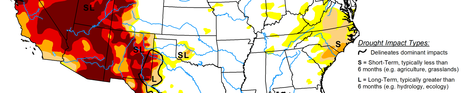
West
Temperatures were near normal for most of the region this week with areas of Wyoming and Montana having departures of 10 to 15 degrees above normal. With most of the region recording little to no precipitation for the week, most of the changes in the area were based on an assessment over the last several weeks. Improvements were made to the extreme and exceptional drought in western Montana and eastern Idaho as well as in northwest Wyoming.
Related Articles