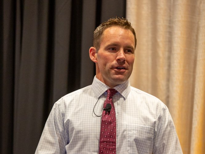
Ross Janssen, chief meteorologist at KWCH in Wichita, Kansas, gave the “good, the bad and the ugly” during his keynote address at the recent Sorghum U/Wheat U event.
Janssen discussed technology used to study and predict weather, along with the models used in those predictions. He also looked into what longer-range models were showing going into fall and early thoughts on winter weather in the High Plains.
Most all in the room could remember what Janssen called “the ugly” or the windstorm in 2021, and the rough drought conditions during the past three years.
The latest drought maps for the High Plains are showing some areas still struggling with drought conditions—east of Wichita, Ness County and portions of central Kansas.
“Interestingly enough, western Kansas has seen complete drought removal. I’m not sure that any of us really thought it would happen so quickly but yes, western Kansas is in better shape,” he said.
Janssen said he wasn’t sure he would have accepted an invitation to speak if it came about six months ago due to the dry conditions.
“But it’s nice to see that it can still rain in Kansas,” he said.
Tech
Janssen said one of the simplest tools weather forecasters use are weather balloons.
“Even though technology is so good these days—believe it or not, we’re still launching weather balloons,” he said.
The balloon measures the temperature, humidity and pressure as it ascends through the atmosphere. Technicians are able to track and see where it goes, giving them wind speed and direction. Once it pops and starts making its way down, the tech aboard tells them exactly where it’s landed.
“All of the data that’s collected from the balloon then goes into a supercomputer. It does all these math problems that I couldn’t do in school, and then when it’s done, we get to come in and analyze the maps,” Janssen said.
Janssen said he and other meteorologists have to sort through a lot of different data to make a prediction, not just for the next couple of days, but possibly the next 10 days. The problem is there’s so much weather information out there all over the place, that it’s hard to get a handle on it.
“We just don’t have control over all of the information that can be consumed,” he said.
Weather outlook
Janssen said defining El Nino and La Nina is probably a popular question for a lot of meteorologists, especially as summer ends and we head into fall. Both are big drivers of the weather in the Plains and across the globe. El Nino’s have warmer than average water near the equator, while La Nina’s are colder than average.
“We are transitioning. We’ve now moved out of La Nina and we’re already in an El Nino,” he said. “Long story short, La Ninas are usually not good for Kansas. It often means hot weather, drought, and we have seen an awful lot of that. El Ninos tend to favor better chances for rain region wide.”
Last time it was hot and dry, 2011-12 there were pretty significant drought conditions and Janssen said they were even worse than what we’ve been through in the last three years.
The colder than average water has been replaced by warmer than normal, and Janssen gets a lot of questions as to how long it will stay since we’re now coming out of the drought. He does see some heat coming back for the rest of August, and no “blockbuster” rains.
“I think we’re going to continue with chances—so the big heat dome coming back over Kansas and sticking around for the second half of this month appears very unlikely,” he said. And most of the rain that we’re going to get between now and the end of this month that will probably come in waves from Colorado and Nebraska like we’ve been seeing as of late.”
For September, October and November, models are suggesting chances of near to above average rainfall should continue.
“A really wet fall? I don’t know that we’ll see that but I’m also not expecting a really dry fall,” he said. “So average to above average rainfall looks like it’s probably going to continue for this area. And temperature-wise we don’t see anything that really jumps out at us. I think it’s gonna be an average fall for temperatures.”
Janssen said it’s nice to see average again, with the terrible drought and major heat.
Janssen’s already gotten multiple questions about what winter will be like—particularly between now and the middle of December.
“Again with El Nino we tend to favor more moisture in winter, December January and February and early look would suggest we might have a wet winter around here,” he said. “I certainly don’t think it’s going to be a dry winter. So even if we end up with average precipitation this winter that would be a nice change of pace.”
Usually Kansas has wetter than normal conditions in El Nino winters, while it tends to be dry and warm in the northern Plains.
“And that’s what we expect to set up as we go into the winter season,” he said. “I don’t think we’re going to have a really harsh, bitterly cold winter.”
Kylene Scott can be reached at 620-227-1804 or [email protected].
Weather balloons help predict rains
By Kylene Scott
Recent summer rains over the past 60 days have helped improve conditions, but others are starting to regress, according to Ross Janssen, chief meteorologist Ross Janssen, at KWCH in Wichita, Kansas.
“That’s what you need to break a drought,” he said. “A lot of city people think that you get a good 2 or 3 inches of rain—the droughts over,” Janssen said. “Most of you in agriculture know firsthand that it takes a lot of water to get out of a drought to replenish reservoirs, to replenish lakes, streams. And hopefully we’re starting to do a little bit of work on that.”
Some long-term techniques remain a staple to help guide farmers and ranchers—including weather balloons.
As Jannsen went through his presentation at Sorghum U/Wheat U he went in depth on what water balloons can do to aid forecasters as farmers and ranchers seek relief from drought conditions.
“What’s so fascinating about the weather balloon, first of all, it’s still being used today even though technology has gotten so much better,” he said.
The balloons are at the very beginning stages of weather forecasting, and in order to do that they need to be able to see what’s happening 15, 20 or 30,000 feet above the ground.
In Kansas, weather balloons go up twice a day from Dodge City and Topeka on a normal day. If they’re expecting bad weather or a significant storm, they’ll have a midday launch.
Typically, it takes about two hours from the time the balloon is fully inflated for it to reach about 80 or 90,000 feet. Once it pops and starts making its way down, the tech aboard tells them exactly where it’s landed.
Doppler radar is another “old technology” still being used today, Janssen said. It’s had significant upgrades since its inception in the late 80s, and it allows meteorologists and forecasters to see what’s going on. Satellite technology is another one of those old techs that’s been around a long time.
“It used to be we have to wait 20 to 30 minutes to get a new picture from space,” he said. “But now we can actually get a new satellite image every minute. So, we often are able to see towering thunderstorms long before you ever see anything on radar. Pretty incredible stuff.”
There are a couple weather models Janssen uses not just in forecasting weather, but also in severe weather situations.
“You’ve probably heard of this European model. Maybe you’ve heard of the GFS model. There’s the HRR, there’s the RUP, there’s the rock. What are all of these different models?” he said. “Well, some of them are good out to 10 days. Some of them are good out 15 days, some of them aren’t good at all.”
Related Articles