March hopefully will bring more moisture
February brought in tastes of spring that many were holding onto in hopes that the mild days would stay.
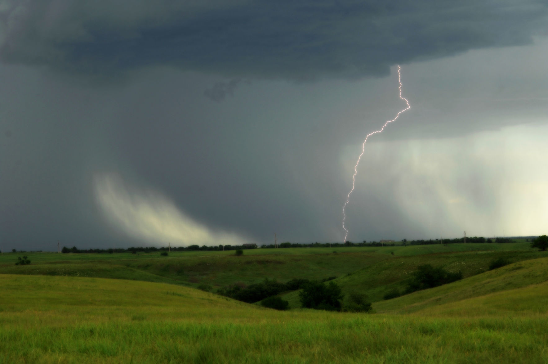
Despite some of the mild stretches, February wasn’t completely void of winter’s chill. One instance of this included parts of western Nebraska. On Feb. 16, temperatures dipped to minus 11 degrees Fahrenheit in Alliance.
Widespread moisture helped relieve some ongoing drought conditions in the southern Plains during the month. The northern Plains on the other hand continued to see snow averages well below normal. Fargo, North Dakota, and Sisseton, South Dakota, were just two locations that had accumulated less than 25% of their normal snowfall as the calendar neared the end of the month, according to the U.S. Department of Agriculture.
For the month of March, above normal precipitation is forecast for Nebraska into western and central Kansas. During that same time, southwest Texas is expected to see below normal precipitation.
That outlook remains for southwest Texas through the next three months. Meanwhile, the likelihood for above average precipitation focuses on central to eastern areas of Kansas and Nebraska along with eastern Oklahoma through May.
For temperatures, much of Texas (except the northern portion) is forecast to see the mercury below normal for March.
The precipitation forecast in the coming months will not help drought conditions in southwest Texas as more of that area will likely sink into drought and those areas experiencing drought already will see it continue. Drought conditions should improve though in areas of Nebraska and Kansas in the next three months.
El Niño conditions still persist, but changes are in store as we head into spring or early summer when a transition to ENSO-Neutral is forecast. Following that, long-term outlooks are showing the possibility of La Niña conditions at some point in the summer months.
I’m always keeping an eye to the sky (and the weather patterns), so watch for next month’s update.
Editor’s note: Regina Bird grew up on a farm near Belleville, Kansas. The views from the farm helped spur her interest in weather. Following high school, she went on to get a bachelor’s degree in meteorology from the University of Kansas. She worked as a television meteorologist for nine years in Nebraska. Follow her on Twitter: @ReginaBirdWX