Super El Niño brings hope for moisture to drought-weary Texas
Texas producers heading into fall and winter have reason to hope a historically strong El Niño will deliver what much of the state has gone without for years – enough moisture to recharge depleted soil profiles.
Storms in early October left water standing in fields across parts of the state, including some Panhandle areas that received 8-9 inches over the past few weeks. Ronnie Schnell, Ph.D., Texas A&M AgriLife Extension Service state cropping systems specialist and professor in the Department of Soil and Crop Sciences, Bryan-College Station, said those soggy fields can be misleading.
“We do have wet fields in places right now, but it’s surface, so it’s not deep moisture,” he said.
That helps explain why most of Texas remains in drought on the U.S. Drought Monitor map despite the recent rains, Schnell said. Even areas that caught several inches have not received enough to push them past the drought threshold.
Regional soil profiles need deep moisture
Rainfall to build deep moisture has been lacking for years in many areas, Schnell said, particularly in the Panhandle, West, South and South Central Texas. A wet spring can help some producers get by, but those gains don’t last.
“It dries up quickly because you just don’t have a lot of deep moisture,” Schnell said. “And you see that in stream flows, ponds and lakes – they’re still low.”
That is why a wetter winter would be welcome from an agronomy perspective, he said.
Schnell said moisture needs vary across the state. Panhandle and South Texas producers need rain to recharge soil profiles this winter, but they will also need in-season precipitation next year to lighten the load on irrigation.
While rain will benefit most of the state, a wet pattern could complicate producer plans in the near term. Producers working to plant winter wheat, oats and cool-season forages over the next month could see delays if repeated rains keep equipment out of fields.
“It’s just, when does it come and how much, and do we get enough of it to really recharge those profiles that are probably pretty dry in most areas of the state?” Schnell said.
What’s so ‘super’ about this El Niño?
There is no historical match for the current El Niño, said John Nielsen-Gammon, Ph.D., Texas state climatologist and Regents Professor in the Texas A&M Department of Atmospheric Sciences, Bryan-College Station. But six El Niños over the past 75 years came close in strength, and they offer clues about what Texans can expect.
Nielsen-Gammon said 2015-2016 was the last significant winter El Niño pattern while 1991-1992 produced the most memorably wet winter in that time.
“They generally produce wet weather from October through April, especially October through February, and somewhat cooler than normal temperatures,” he said. “Not dramatically so, but on the cool side because of all the rain, mainly.”
Those events also brought increased snow to the northern half of the state, he said. Computer models simulating this year’s El Niño point in the same direction – wet and probably on the cool side – giving forecasters strong confidence in the outlook.
Nielsen-Gammon said El Niño strength hinges on the Pacific trade winds, which normally pull cool water to the surface along the equator. When the winds fluctuate, so does the current that carries that cool water. This year, the current has nearly shut down.
“So, it’s almost as strong as an El Niño can get,” he said. “We’ve got nothing but hot tropical surface water across the whole of the tropical Pacific.”
The unusually warm tropics create an unusually strong temperature contrast with higher latitudes, he said. That produces a stronger jet stream positioned a little farther south than normal.
“That puts us more in the crosshairs of the weather systems that are carried along by the jet stream,” Nielsen-Gammon said.
El Niño off to a decent start
The early October storms appear to be a kickoff to that pattern, Nielsen-Gammon said. Parts of Texas have already received normal October rainfall, and much of the Panhandle, which had been especially dry, received good rain over the past couple of weeks.
“It may be too late for many agricultural crop purposes, but it’ll be nice to have the water in the ground for the wintertime,” he said.
Outlooks consistently show El Niño peaking around December and weakening through spring, he said. There is a tendency for a milder severe weather season the spring following an El Niño, and a good chance of La Niña developing next year.
“So, this is probably a one-shot deal,” Nielsen-Gammon said.
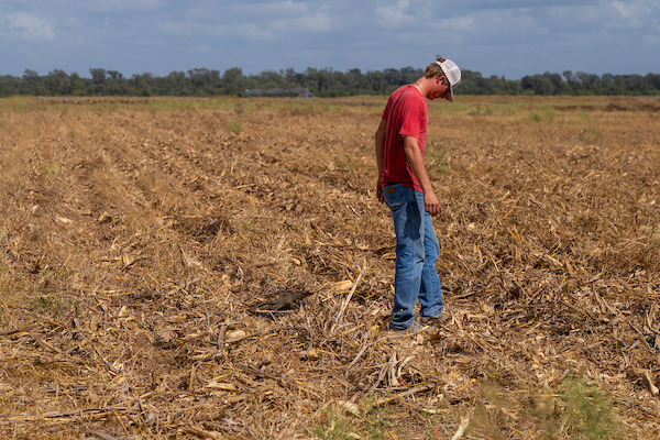
PHOTO: Reese Janek takes a look around in College Station, Texas. (Michael Miller/Texas A&M AgriLife)