
K-State precision agriculture expert outlines best uses of technology on the farm
As Kansas wheat harvest wraps up, producers are leaving the field with something just as valuable as the grain in their trucks: data that can drive smarter decisions for years to come.
Deepak Joshi, a precision agriculture specialist at Kansas State University, said yield data collected by combine harvesters is one of the most powerful tools on today’s farms.
“This is a really important time as growers are harvesting their wheat, and they’re going to be collecting a lot of yield data from their field,” Joshi said. “Those yield data can tell us so many different stories about their field. It’s not only about the total yield.”
Listen to an interview by Shelby Varner with Deepak Joshi on the weekday radio program, Agriculture Today
Modern combines record yield every few feet across the field, allowing farmers to create detailed yield maps. Those maps show where yields are high, low or average within the same field, revealing patterns tied to soil type, topography and management.
“Within one field, we don’t have the same yield pattern throughout,” Joshi said. “Just looking at the yield map, we can get an idea about yield patterns and what the yield gradient looks like for the field.”
Farmers can make those maps even more useful by layering on other information, he said. Soil type data can explain why certain zones consistently underperform, while topographic data — such as high and low spots, slopes and drainage paths — often helps explain water and soil nutrient movement and its effect on yield.
“In Kansas, not all farms are flat and uniform,” Joshi said. “Adding topography information can tell us more about the slope of the field, what the drainage looks like and where we have more water runoff. That ultimately affects the yield pattern of the field.”
Joshi said many growers are now stacking several years of yield maps to see which areas are consistently high or low yielding. That long‑term view supports more precise input decisions.
“If we are consistently getting low yield on a certain area, we don’t need to put much input on those areas, because we may lose our input there,” Joshi said. “Based on multiple years of yield data, they use variable rate technology to apply different inputs of fertilizer, seed or irrigation in different management zones.”
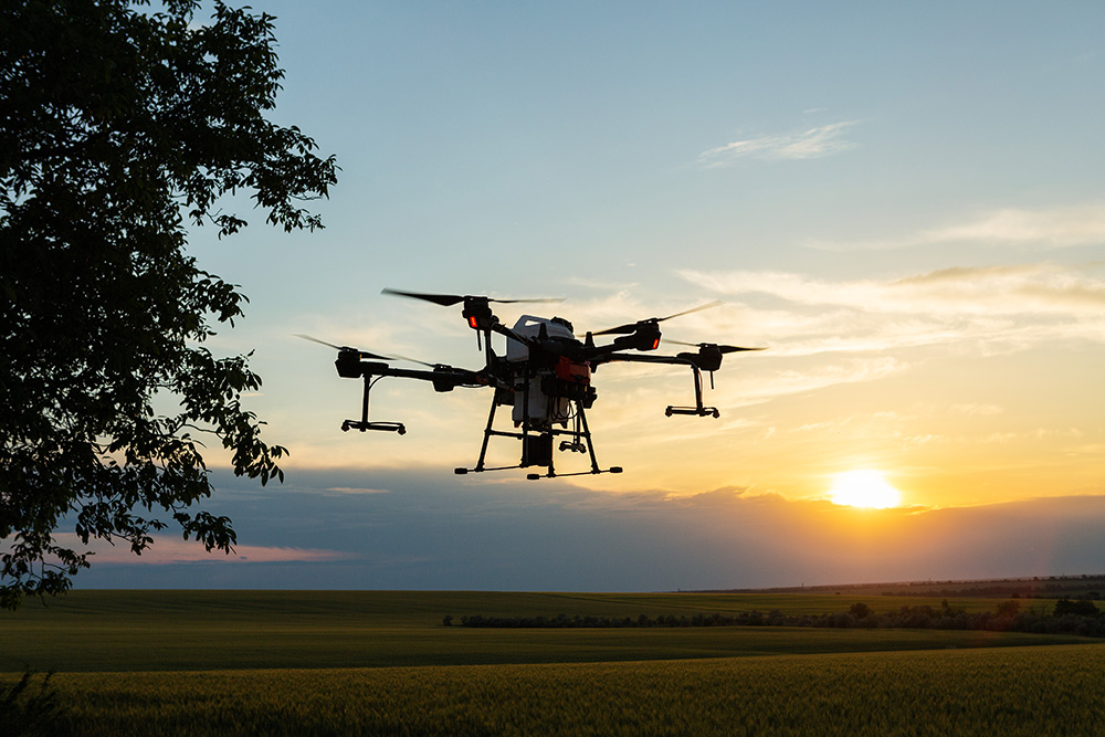
Drones are the other fast‑emerging tool on Kansas farms. Once used mainly for scouting, Joshi said they are now increasingly employed for spraying fungicides, insecticides and herbicides.
Farmers often fly a mapping drone first to identify problem spots, such as weedy patches, then program a spray drone to treat only those areas.
“Spray drones will not spray throughout the field uniformly, but only on the targeted patches,” Joshi said. “Using target application, we can reduce the amount of herbicide and also reduce the amount of money we spend.”
Spray drones are especially useful in rough or muddy fields where ground rigs struggle, including pastures and rangeland.
“Right after a rain, soil is muddy and wet. It’s difficult to bring the ground rig to spray,” Joshi said. “On that condition, you can fly a drone and just quickly spray.”
Joshi said operators must manage factors such as flight height, wind speed and travel speed to avoid drift and ensure droplets penetrate the crop canopy, including the lower leaves.
Battery life remains a key limitation, but he expects technology to continue advancing.
“Spray drones are not here to replace the ground rig,” he said. “We should combine both together and use each where they work best for better performance on the farm.”
More information on crop production and other agriculture practices is available at local extension offices in Kansas.
PHOTO: Farmer technicians remotely fly agricultural drones to fly to spray fertilizer in fields. (Adobe Stock-#571192845 │ Budjak Studio)



