Moderate to heavy precipitation received in southern areas and parts of Midwest

This week, another strong storm system crossed the southern continental United States, delivering moderate to heavy precipitation from parts of Texas and Oklahoma east and northeastward through the Ohio Valley and Southeast to the Atlantic Coast, according to the U.S. Drought Monitor for Dec. 18 released Dec. 20. Moderate to heavy precipitation also occurred from the central California coastline northward to the Canadian border, and in the interior northwest in northeast Oregon, eastern Washington, and the Idaho Panhandle. Elsewhere, little to no precipitation fell. With the exception of southern Texas, Louisiana, Mississippi, Alabama, Florida, northern New England, and a few pockets in the Intermountain West, most of the continental United States experienced warmer than normal weather this week. The warmest conditions with respect to normal occurred in the central and northern Plains and Upper Midwest. Relatively minor changes were made to the drought depiction this week. Abnormal dryness expanded over much of the southern Plains in response to increased short-term precipitation deficits and windy conditions. Areas of the South and Southeast that were in drought were adjusted in response to where the moderate to heavy rain fell and missed this week. Any changes to the map in the Northwest have been deferred to next week, when the effects of recent precipitation on meteorological and hydrological drought in the region can be more thoroughly evaluated.
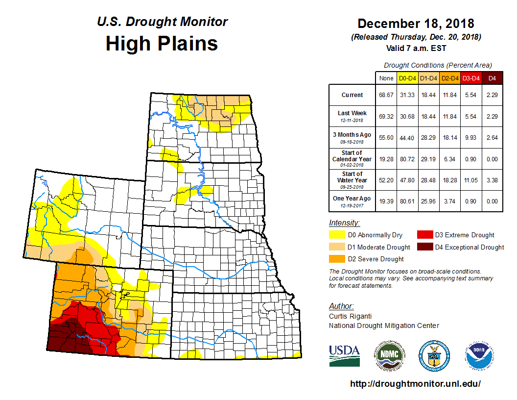
Warm and dry conditions dominated the region this week, with the warmest weather compared to normal occurring in the Dakotas. Dry conditions continued this week in southern Kansas, which led to the introduction of abnormal dryness where 1- to 2-month precipitation deficits increased and high winds increased evaporative demand. Outside of southern Kansas, no changes to the drought depiction were made this week.
Moderate to heavy precipitation occurred this week in the Midwest, generally along and southeast of the I-44 corridor in Missouri and the I-70 corridor in Illinois, Indiana, and Ohio. Above-normal temperatures occurred in the entire region, with the warmest weather compared to normal taking place in northern Minnesota, where temperatures spiked to more than 10 degrees above normal. Relatively dry conditions over the last couple months continued in northern Wisconsin and parts of Michigan, though precipitation surpluses beyond the last two months in these areas prevented degradation. Aside from a slight expansion of moderate drought and abnormal dryness in southwest Missouri, no changes were made to the drought depiction for this week in the Midwest.


