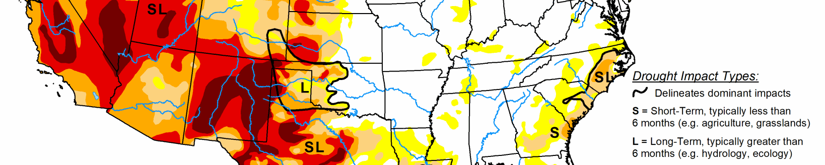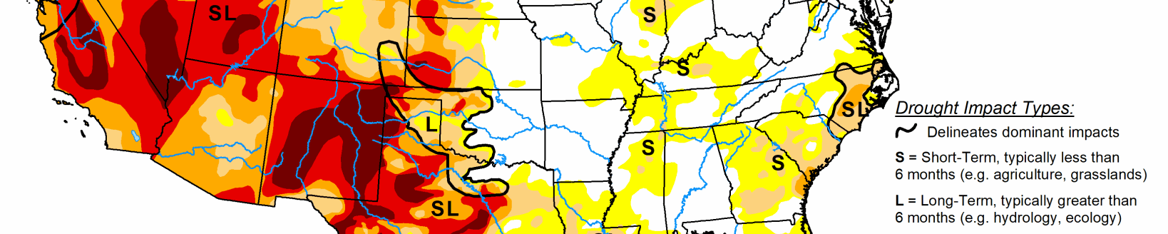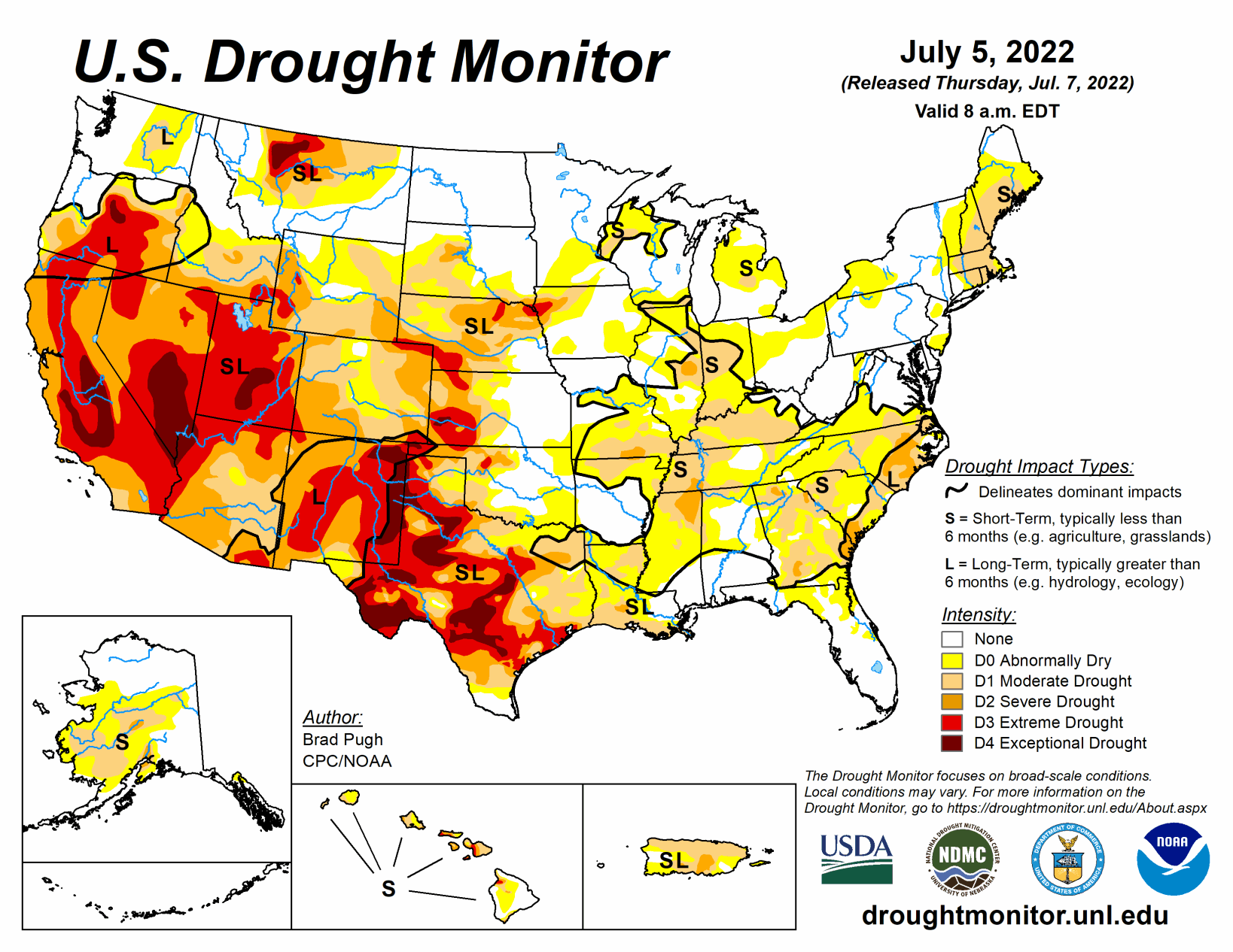
Short-term drought continued to rapidly expand across the Ohio, Tennessee, and Middle Mississippi Valleys along with parts of the Corn Belt. Thunderstorms brought locally heavy rainfall and drought relief to parts of the central to northern Great Plains. However, 7-day temperatures averaged above-normal throughout the Great Plains. A tropical disturbance in the western Gulf of Mexico and a trough of low pressure resulted in heavy rainfall and improving drought conditions to southeast Texas and southwest Louisiana. Following the unusually heavy Monsoon rainfall during late June, heavy amounts were more localized this past week across New Mexico.
South
D0-D1 was xpanded across northeast Texas, southeast Oklahoma, and Arkansas. The number of Arkansas counties, designated with burn bans, continues to increase. In the 6 week period since May 25, Jonesboro, Arkansas has recorded 1.17" of precipitation, or about 25% of normal. This is the driest such period since 1952. SPI values, starting at 120 days through the past 24 months, along with CPC’s leaky bucket soil moisture (lowest percentile) supported an expansion of D4 across the Texas Panhandle.
Closer to the Gulf Coast, heavy rainfall (more than 1.5 inches) resulted in widespread 1-category improvements to southern Louisiana and southeastern Texas. In areas that received more than 5 inches of rainfall such as southwest Louisiana, a 2-category improvement was justified. A small 2-category improvement was also made to northeastern Texas that received 3 to 6 inches of rainfall. Recent, heavy rainfall also led to a trimming of the extension of moderate drought (D1) across central Mississippi.
Midwest
Through the valid period (ending 8am EDT on July 5), the rapid onset of drought continues to affect parts of the Corn Belt along with the Ohio and Middle Mississippi Valleys. 30-day SPEI, EDDI, soil moisture indicators, and impacts were used in depicting the expanding short-term moderate drought (D1). D1 was degraded to severe drought (D2) in east-central Illinois based on: 30 to 60-day SPEI and soil moisture indicators.
The Champaign mesonet station is below the 2nd percentile at the 4” and 8” depths. Impacts include visibly stressed corn and poor pasture conditions. Short-term D2 was also added to south-central Missouri where less than 0.5 inch of rainfall has occurred since the beginning of June. A CoCoRaHS observed in Ripley County, Missouri recorded only a trace of rainfall from May 28-July 5. Based on increasing short-term precipitation deficits, NASA SPoRT soil moisture, and QuickDRI, abnormal dryness (D0) was expanded to include more of Lower Michigan. Likewise, the D0 coverage was expanded to include more of Ohio due to SPEI, declining soil moisture and streamflows, and crop stress. D1 was added to parts of northwest Wisconsin with support from 28-day average streamlows, soil moisture, 30 to 60-day SPI, and EDDI.
High Plains
Locally heavy rainfall (more than 1 inch) this past week resulted in 1-category improvements to parts of Kansas, Nebraska, and South Dakota. Based on increasing short-term precipitation deficits and consistent with worsening soil moisture indicators, severe drought (D2) expanded across north-central Nebraska and extreme drought (D3) was added to more of northeastern Nebraska. Recent precipitation and reassessment of longer term SPI values supported a slight reduction of severe drought (D2) in southwestern Wyoming. Following a drier-than-normal June with above-normal temperatures (+3-4 degrees F), degradations were made to northeastern High Plains of Colorado. Recent monsoonal rainfall and the “convergence of evidence” of multiple indicators led to improvements for southern Colorado.
West
The North American Monsoon remained robust into the beginning of July, resulting in near to above normal precipitation across Arizona and New Mexico. Following the widespread 1-category improvement made the previous week throughout New Mexico, improvements were limited to areas of the heaviest rainfall. Additional improvements may be necessary in subsequent weeks depending on the Monsoon rainfall. Beneficial rainfall (more than 1 inch) continued to result in drought elimination across eastern Montana. Parts of north-central Montana have remained drier since the spring and extreme drought (D3) was expanded which was supported by soil moisture data. Drought coverage and intensity remained steady for the remainder of the West.
Related Articles