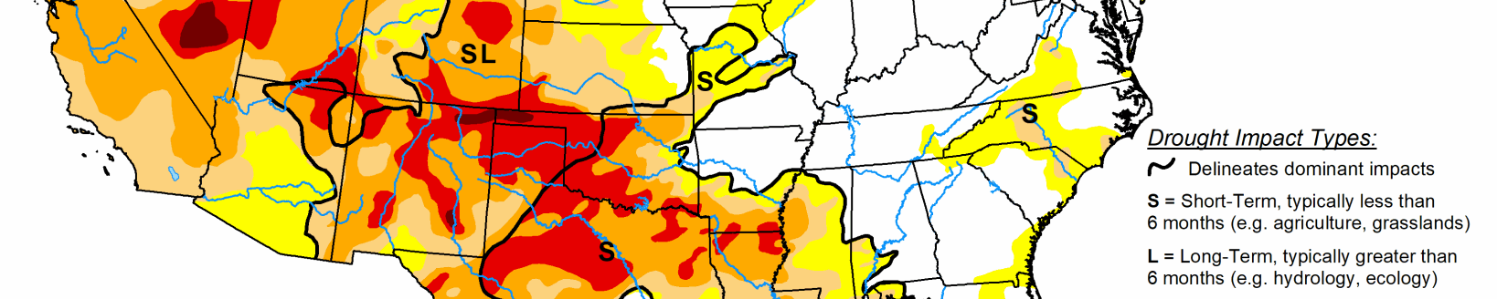
Areas of Extreme and Exceptional Drought expand in western Kansas
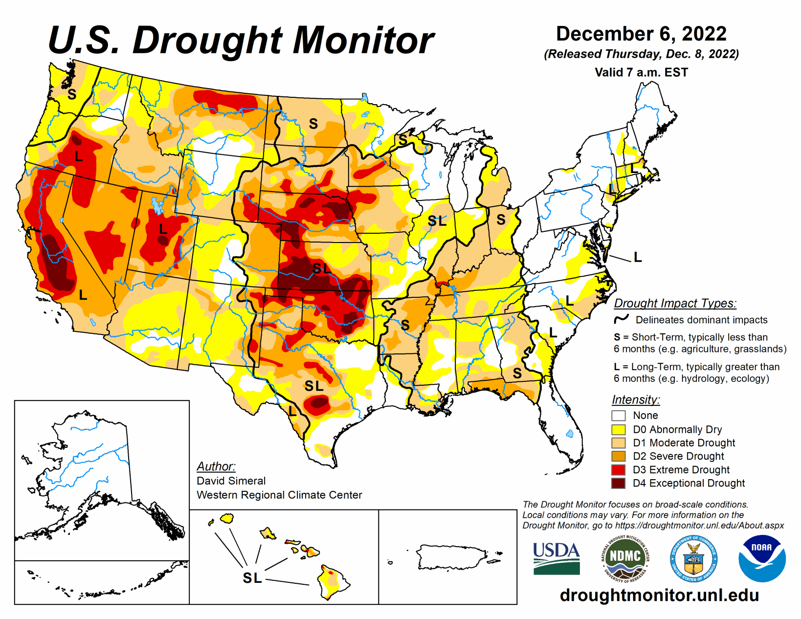
This U.S. Drought Monitor week saw an active storm pattern across much of the Western U.S. as well as another round of isolated heavy rainfall across portions of the South and Southeast. Out West, several rounds of Pacific moisture streamed into the region bringing heavy rains to the lower elevations of the Pacific Coast Ranges and snowfall to the higher elevations of the Sierra Nevada, Klamath Mountains, Cascades, northern Great Basin, and the central and northern Rockies.
In the Desert Southwest, locally heavy rainfall was observed in southern Arizona and west-central New Mexico in association with sub-tropical moisture that moved into the region on Saturday with isolated areas receiving 2 to 3+ inches of rain. The rainfall improved soil moisture levels and helped to boost precipitation totals during the past 12-month period to normal to above-normal levels across much of the southern portion of Arizona.
In the Northern Plains, light snowfall (2 to 6 inches) was observed in the Dakotas and eastern Montana in addition to the passage of an Arctic front early this week, which dropped temperatures into the single digits in North Dakota. In the Midwest, a wintery mix of rain, freezing rain, and snow impacted southern Wisconsin while light-to-moderate snowfall accumulations (2 to 6 inches) were observed in Minnesota and Upper Peninsula Michigan.
South
In the South, improvements to drought-related conditions were made on the map in areas of Arkansas, Mississippi, and Tennessee in response to rainfall over the past 30-day period. Elsewhere, some minor degradations occurred in South Texas and the Oklahoma Panhandle. Across the western portion of the region, generally dry conditions prevailed, while the eastern half saw rainfall accumulations ranging from 1 to 4+ inches with the highest totals logged in northeastern Mississippi and southern Tennessee. Average temperatures for the week were generally above normal (1 to 10 deg F) with the greatest anomalies observed in the Trans Pecos region of Texas and along the central Gulf Coast Region. In contrast, eastern Oklahoma, Arkansas, and Tennessee experienced average temperatures that were near to slightly below normal.
Midwest
For the week, precipitation accumulations were light to moderate (1 to 2+ inches) with the heaviest accumulations observed in southern Kentucky. In Minnesota, Wisconsin, and Michigan, light-to-moderate snowfall accumulations (1 to 6 inches) were observed. Looking at the regional snowfall analysis for the Northern Great Lakes Region, the NOAA National Operational Hydrologic Remote Sensing Center (NOHRSC) is currently reporting that the region is 38.4% snow-covered with an average depth of 1.0 inches and a maximum depth of 15 inches. On the map, areas of Abnormally Dry (D0) were reduced in eastern Ohio and northern Indiana where short-term conditions have improved in response to recent rains. Conversely, areas of Moderate Drought (D1) expanded in southern and northern Illinois where shorter-term precipitation deficits exist (past 30-90-day period) as well as areas of below-normal soil moisture that are showing up on various soil moisture models. In west-central Minnesota, an area of Severe Drought (D2) expanded where significant precipitation deficits (9-12 inches) have been observed during the past 6-month period. For the week, average temperatures were mainly below normal across the region with the greatest departures (-10 deg F below normal) observed in northern Minnesota.
High Plains
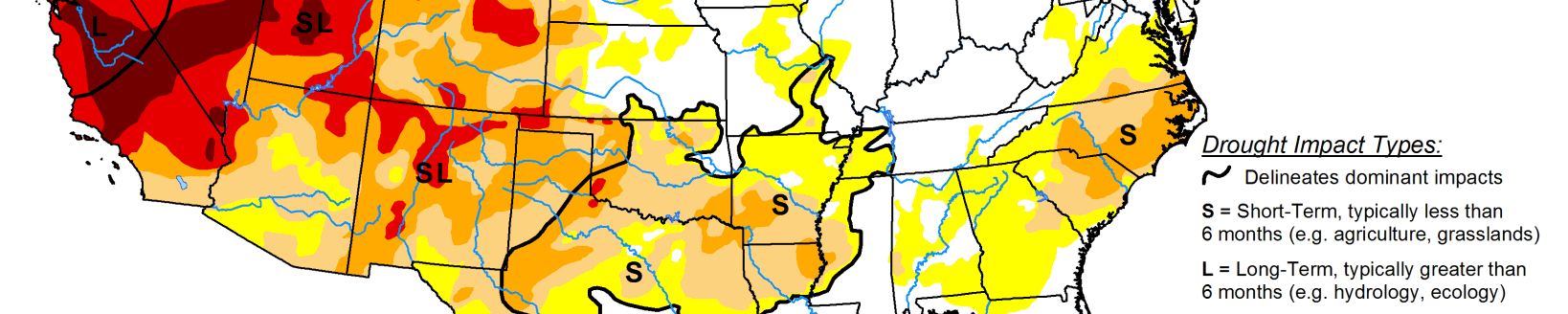
On this week’s map, improvements were made in northwestern Colorado and Wyoming. In Wyoming, recent storms delivered beneficial snowfall to the Teton and Wind River ranges leading to reduction in areas of Moderate Drought (D1). Additionally, areas of Moderate Drought (D1) were reduced in northwestern Colorado in response to improving conditions from recent storms and above-normal snowpack conditions including in the White-Yampa Basin (122% of median).
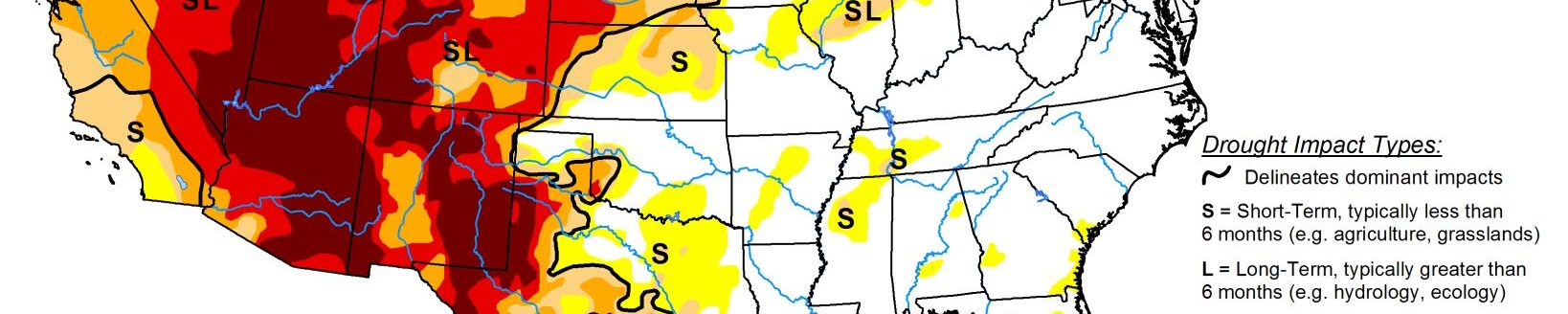
In Kansas, continued dry conditions led to minor expansion of areas of Extreme Drought (D3) and Exceptional Drought (D4) in western Kansas. Looking at the past 9-month period in the western half of Kansas, precipitation deficits ranged from 3 to 12+ inches. For the week, average temperatures were mainly below normal, with the greatest departures (10 to 15 deg F below normal) observed in North Dakota and north-central Wyoming. In terms of precipitation, the region was generally dry, although some significant mountain snowfall was observed in western Wyoming and in the Rockies of Colorado, while lesser accumulations were reported in areas of the Dakotas.
West
Out West, back-to-back storm systems delivered significant rainfall accumulations to the lower elevations of California, Oregon, and Washington as well as heavy mountains snows to the Sierra Nevada, Klamath Mountains, and areas of the Cascades. Moreover, moderate-to-heavy snowfall accumulations were observed in the ranges of the northern Great Basin and the central and northern Rockies.
Related Articles