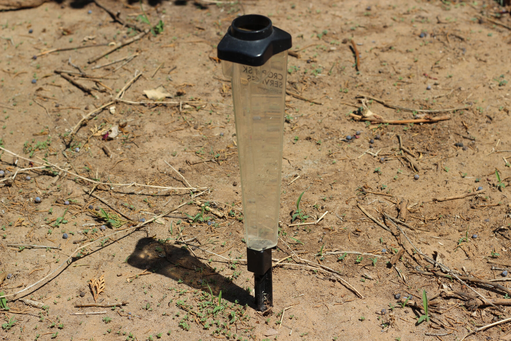
Hot, dry and windy—that has been the story for Oklahoma lately, and as bad as the drought has been for the High Plains the last few months, Gary McManus, Oklahoma state climatologist, said there are indications this pattern could last for some time.
McManus said as of the first week in May, about 65% of Oklahoma was in some form of drought. Additionally, up to 40% of that was considered the worst two categories of drought—extreme and exceptional drought.
“There has been some much needed rainfall over the last 30 days in areas of Oklahoma that have alleviated some of the drought conditions, but much of northwestern and southwestern parts of the state received little to no moisture this month,” McManus said.
To understand the drought conditions right now, McManus reached back to the end of last summer—specifically Aug. 21. He said that was the last good rain the state had in the fall and winter months.
“Poor Kenton, Oklahoma, out in the far western Panhandle, hasn’t seen a good rain since Aug. 27 and that was only about a half inch of rain,” he said. “If you go 257 days without at least a quarter-inch in a single day, you’re really in dire straits as far as moisture goes.”
McManus said one unique aspect of this drought was when the drought intensified. Winter months are usually cooler, so drought conditions do not usually escalate during that time of year, but December 2021 was an exception.
“That was when our drought really took off,” he said. “We saw a 56% increase in severe to extreme drought from the end of November to the beginning of January.”
The drought situation was fueled by an unusually warm and dry December. In fact, McManus said it was recorded as the warmest December by over 5 degrees Fahrenheit.
“I’ve never seen anything like that, to have that much of a separation between the first and second ranked months as far as temperature goes,” he explained. “It was also the 30th driest December on record.”
However, McManus said soil moisture is mostly looking good. The areas of greatest concern are the Panhandle and western and southwestern parts of the state. Additionally, McManus said the dry conditions have been compounded by the windiest March and April the Mesonet has on record.
“Woodward having 16 inch plant available water really stand outs,” McManus said. “As far as topsoil, we see 52% of the state is in short or very short conditions. On a normal year, that would be about 33% of the state. However, some of our neighbors are even worse off than us. Texas is at 81% and New Mexico is at 90%.”
What’s ahead of us?
Victor Murphy, program manager of Climate and COOP Services for the National Weather Service, explained the weather pattern forecast going forward for Oklahoma and expressed some of his concerns.
“Oklahoma has got a very distinct wet season if you will, and that season is pretty much confined to the three-month period of April, May and June,” Murphy said. “You can always have outliers, like heavy rain in October for instance, but if we’re going to avoid long-term drought, we’ve got to get precipitation during the April, May, June time period.”
Murphy said typical precipitation every wet season almost guarantees the area will not enter a drought. He said a majority of the amount of yearly moisture falls in May and June, so the rainfall in those months—to a large extent—determines the amount of yearly precipitation or drought. Murphy predicts below average precipitation for the Sooner State in May and June.
“In the summertime, there is about a 70% chance of being warmer than normal and only about a 38% chance of being wetter than normal,” Murphy explained.
Additionally, both Murphy and McManus predict more dry weather due to similarities between 2022 and 2011 and the La Niña weather patterns.
“We’ve had a couple La Niña events the last two cold seasons, and it’s looking more and more like we’re about to have a triple-dip La Niña,” Murphy said. “The probably of that happening is about 50%. We’ll continue with these below normal temperatures in the Equatorial Pacific Ocean, which in turn seems to keep Texas and Oklahoma dryer than normal in the winter season. The Panhandle has a less than 1% chance of getting out of drought between now and Labor Day. It’s not a very rosy picture going forward, those who got precipitation recently are blessed and fortunate. I can say going forward there is not a whole lot of good news, especially for the western half of the state.”
Murphy said although this drought has been dire, especially for agriculture, it has not been long-lived compared to other extreme droughts and producers should prepare for these conditions to continue for some time.
“If you look back, the big droughts from our past seem to get started or occur during La Niña periods,” McManus said. “We had a La Niña event last year and we had one this year. You take your run-of-the-mill drought, add a bit warmer conditions and change in precipitation patterns and it changes it into a more intense drought. When you have several La Niña events working in conjunction with that, that’s when you start to get more of these drought episodes that we are seeing. When they occur perfectly timed with our crop cycles, that’s when you get disastrous results.”
Lacey Vilhauer can be reached at 620-227-1871 or [email protected].
Related Articles