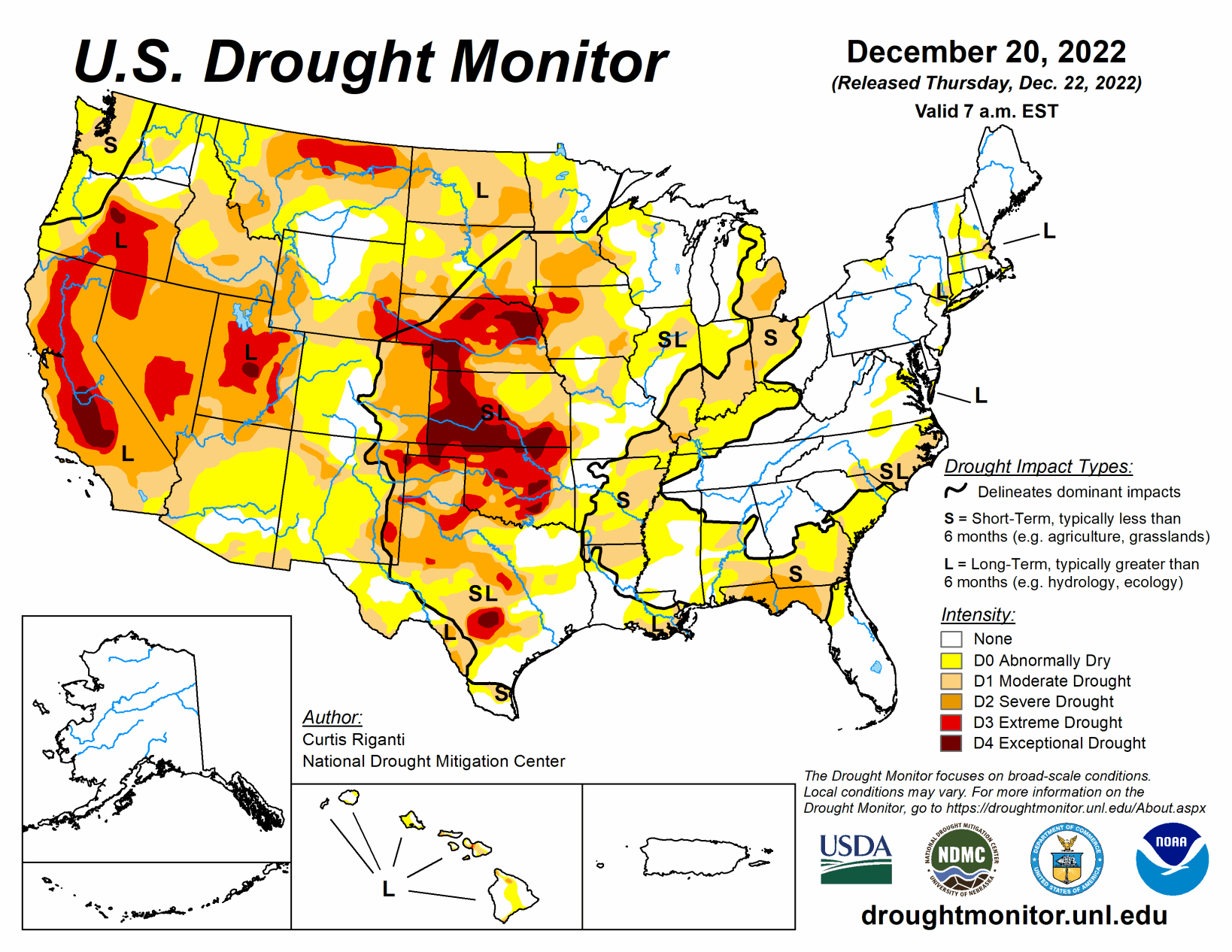
This week, moderate to heavy precipitation fell over the northern Great Plains, parts of the Upper Midwest and much of the south-central and northeast U.S. This led to widespread improvements in drought conditions and abnormal dryness in these areas, as precipitation deficits lessened and soil moisture and groundwater and streamflow improved.
Meanwhile, the West region was much drier this week than the last few, so few changes were made there, and mostly long-term drought and abnormal dryness continued across much of the region. A Kona low affected the Hawaiian islands this week, dumping heavy amounts of precipitation in the form of thunderstorms and high mountain snows on the Big Island, which led to improvements over most of the islands.
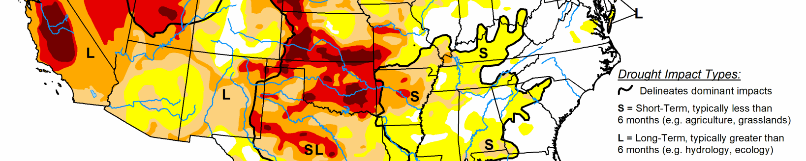
South
Moderate to heavy rain fell this week across the eastern half of the south region, roughly to the east of Interstate 35 in Texas and Oklahoma. Due to increasing streamflow and soil moisture, and decreasing precipitation deficits, improvements were made across much of the eastern half of the region, including a small part of eastern Oklahoma, much of Arkansas, east Texas, Louisiana, Mississippi and Tennessee. In parts of Texas that missed out on the rains, degradations were made in a few spots where precipitation deficits, and in some cases streamflow deficits, mounted. Widespread severe, extreme and exceptional drought continued across much of central and western Oklahoma and the Texas Panhandle.
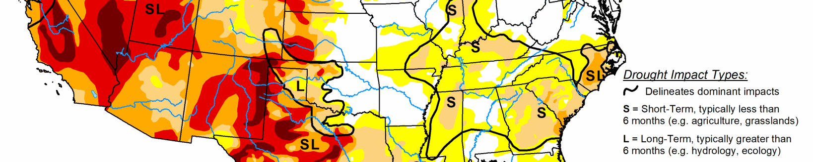
Midwest
Weather conditions varied widely in the Midwest region this week. In the western half of the region, conditions mostly stayed the same or improved after widespread precipitation over the past couple weeks, including much of Missouri and Illinois. Extreme drought was removed from southern Illinois after recent heavy rains improved conditions there.
High Plains
Widespread moderate to heavy rain and snow fell over parts of the High Plains region, especially the Dakotas and northern Nebraska. Due to the growing snowpack and lessened precipitation deficits, improvements were made across much of South Dakota and North Dakota, as well as in north-central and northwest Nebraska and the northeast corner of Colorado. Improvements were also made due to recent precipitation in the Kansas City metro area. Farther west in Kansas, dry weather continued this week, and long-term precipitation deficits and soil moisture deficits continued to grow, leading to a small expansion of extreme drought to the east.
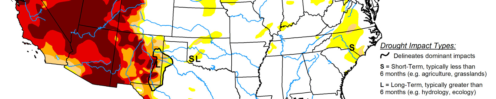
West
Compared to the last several weeks, this week was generally quieter across the West region, with the exception of snowfall in the eastern plains of Montana from the same system that impacted the Dakotas. Some improvements were made in eastern Montana, as this snowpack helped to further alleviate long-term precipitation deficits. Elsewhere across the West, mostly long-term drought and abnormal dryness continued in most parts of the region.