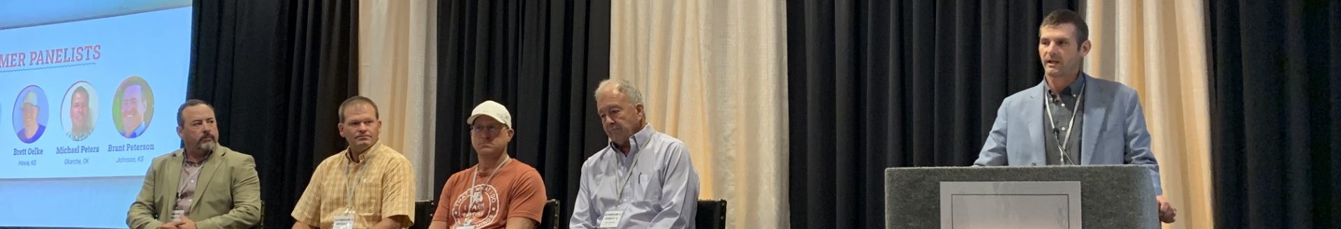
Ross Janssen, chief meteorologist at KWCH in Wichita, told attendees at the Kansas Commodity Classic, Jan. 26, in Salina, Kansas, to not get too used to the warmer temperatures at the end of January and early February.
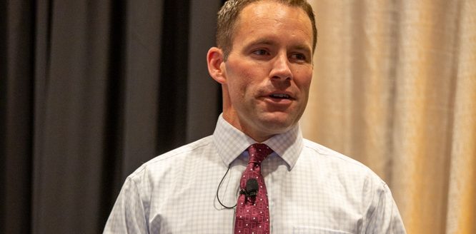
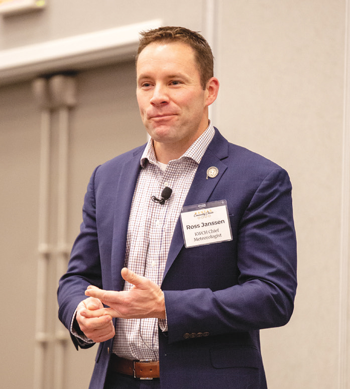
Recently residents felt the Arctic air and then clouds and fog, he said. Early February temperatures are expected to go colder, with moisture coming back. Janssen is pictured during his presentation with a Journal photo taken by Kylene Scott.
“Sad reality is that the moisture that we’re getting right now—I mean as much as we’re probably getting a little tired of fighting the grime, the mud and all that,” Janssen said. “This is what we needed to start replenishing our subsoil moisture and start hopefully as spring wears on, putting some water back in area ponds and the lakes.”
There’s still a little way to go on that though. Temperatures in January failed to reach 50 degrees Fahrenheit the entire month.
“That’s kind of unusual,” he said. “Usually we have the January thaw mixed in somewhere.”
On average, January has proven to be a cold month, especially in Kansas, Arkansas and up into the northern Plains.
“Right now the average temperature is tracking about 10 to 15 degrees colder than normal,” Janssen said. “This is probably going to wind up being a top 10 to 15 coldest January on record for a lot of major reporting stations across the state.”
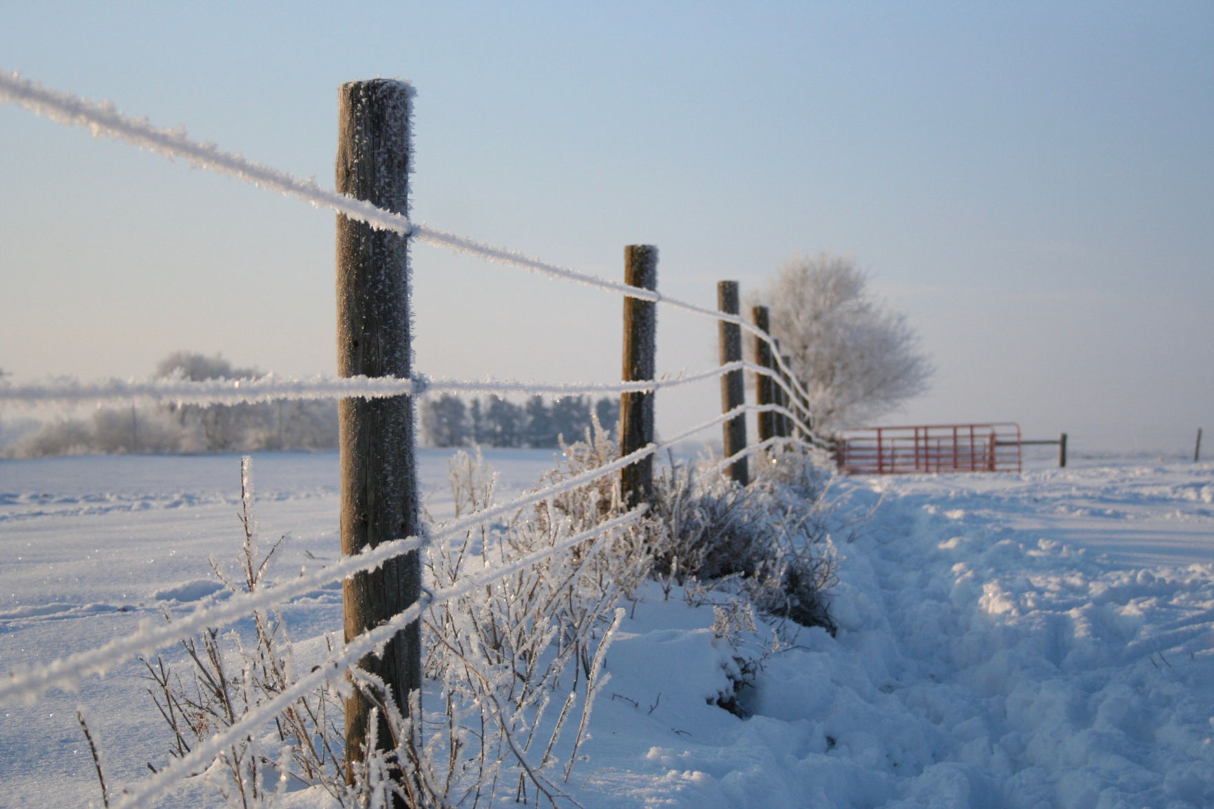
As for the snowfall, Kansas has gotten about a foot of snow so far this year, and he believes the state will likely see more in mid- to-late February.
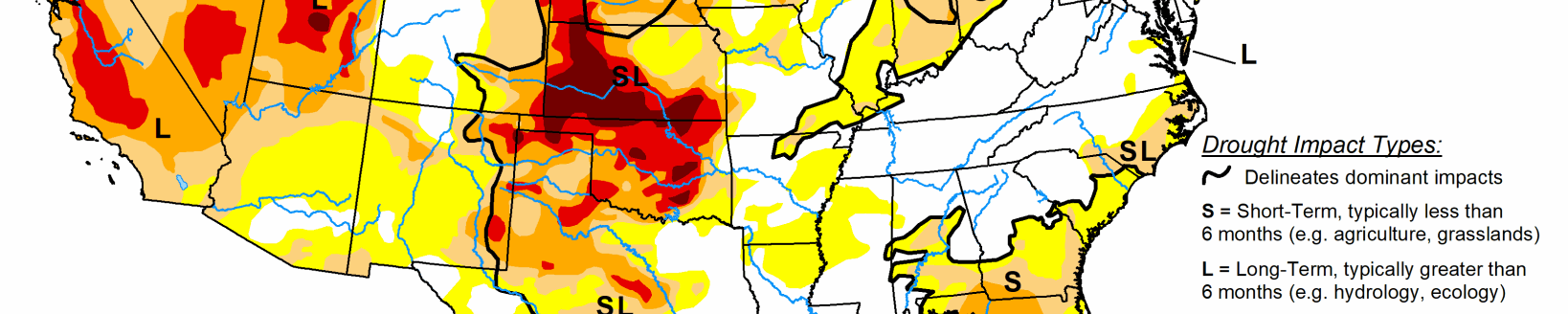
Drought outlook
When it comes to the drought discussion, conditions have decreased across Kansas, with most areas rated in the D1 or D0—abnormally dry or lower.
“Southwest Kansas is still in pretty good shape,” Janssen said. “So we’re moving in the right direction.”
Janssen said weather conditions are currently in an El Niño weather pattern, and when this happens there’s warmer than average water along the equator.
“It’s been fairly strong,” he said. “The average water temperatures been tracking about 1.5 to 2 degrees Celsius higher than average. And it actually started late spring last year and as we went through last summer.”
The El Niño influence brought the rain back to western Kansas. La Nina conditions or cooler water temps at the equator tend to favor drought conditions.
“Moving ahead, I think we’re probably going to be going back to La Nina and it’s likely coming on a lot faster than probably most of us would prefer,” he said.
Some La Niña years to look back on, the summer of 2011 and into 2012, those were years where there were 40 and 50 days of 100-degree days.
“It was brutal. I have never wanted to quit my job so much as I did that summer because every night when you show a seven-day forecast that was full of 100 people were angry and they were mad at us,” Janssen said. “It’s frustrating. I don’t like to stand in front of something that’s nothing but hot, but that’s what we were stuck with.”
There was a dome of high pressure that wouldn’t move, and stayed that way for two or three weeks at a time.
“Anytime I see La Niña come in, is not normally very good news for our summer season,” he said. “It just tends to be warm and it tends to be dry.”
Current conditions at the equator are showing warmer water and El Niño characteristics, and that’s pushing the wet, snowy weather that’s happened this winter.
“This is classic, the southern branch of the jet stream tends to be very active, the southern half of the United States tends to be wetter, and we just happen to be on the receiving end of that,” Janssen said.
The fluctuation of the water temperature influences where the jet stream goes, and indicators are showing El Niño weakening. Janssen believes after spring is over, La Nina will show back up
“There is a 60% to 80% chance that going into late summer and early fall this year La Niña is going to return,” he said. “Most of us may be sitting there thinking oh great, so we’re going back into drought.”
Possibilities
Drought conditions may or may not return, and it all depends on how long La Niña decides to stick around for.
With the current El Nino conditions, Janssen sees May being wetter across the Plains, maybe even into June.
“I think with a high level of certainty we can say that this spring is going to be wet and the summer we should have at least average rainfall,” he said. “I don’t think the summer is going to be anything like the last couple of summers have been and that’s just based on past history of how things have worked out for us in Kansas.”
Longer range models are showing a wet February, with the first few days staying dry. Persistent low pressure systems from California into the desert southwest will influence patterns.
“I think February is going to be a wetter than average month,” Janssen said. “And snowfall whether you love it or hate it, you know we need it. It does offer up beneficial effects.”
In the 32-day snowfall outlook, suggestions are made for at least average snowfall—about 5 to 10 inches between now and the end of February.
“What most people may overlook February tends to be one of the snowier months because the temperature starts to climb,” he said. “As the temperature goes up, there’s more possibility of loading the air with more humidity.”
That’s why on average February and March can be snowier than December and January. As for temperature, he’s seeing at least average temperatures for February, if not slightly colder.
“Next week is probably going to lead a lot of people into thinking that spring is almost here,” he said. “But I see a lot of indications suggesting that cold weather is going to come back. Now highs in the single digits. I don’t see that. But I think we could definitely still have a stretch of teens and 20s as we move forward in mid-February.”
Cold may stay
Don’t give up on the cold just yet though. With El Nino it continues to look wet moving into spring, and this is due to the very persistent southern track of the jet stream. As for the summer months—June, July and August—timing for rain may not be well timed with harvest and other activities.
Northern parts of the country could be a bit drier because of the classic El Nino set up and the southern half will be favored with higher than average rainfall, according to Janssen.
“I don’t think that we’re heading for a significant hot summer, he said. “Temperatures based off of the longer-range models that would suggest it’s going to be a little warmer. But even if that turns out to be the case, if we get a lot of wet weather in the spring and you have a lot of subsoil moisture, usually your summers are not quite as excessive on the heat because all of that energy coming from the sun is evaporating the moisture and so that does tend to cut down on your extreme high temperatures during the summer months.”
A ‘normal’ winter?
Janssen does think winter will drag out this year.
“But I think that February and March, on average, probably across the entire central Plains it looks near colder than average,” he said. “It also looks like we’re probably going to have a wet spring. I think we’re gonna continue to have a decent chance for snow moving into February and March.”
Because of all the added moisture, he believes summer temperatures won’t get as hot as they’ve been in the past couple of years.
Kylene Scott can be reached at 620-227-1804 or [email protected].
Related Articles