SatRAP project tests satellite data for irrigation decisions
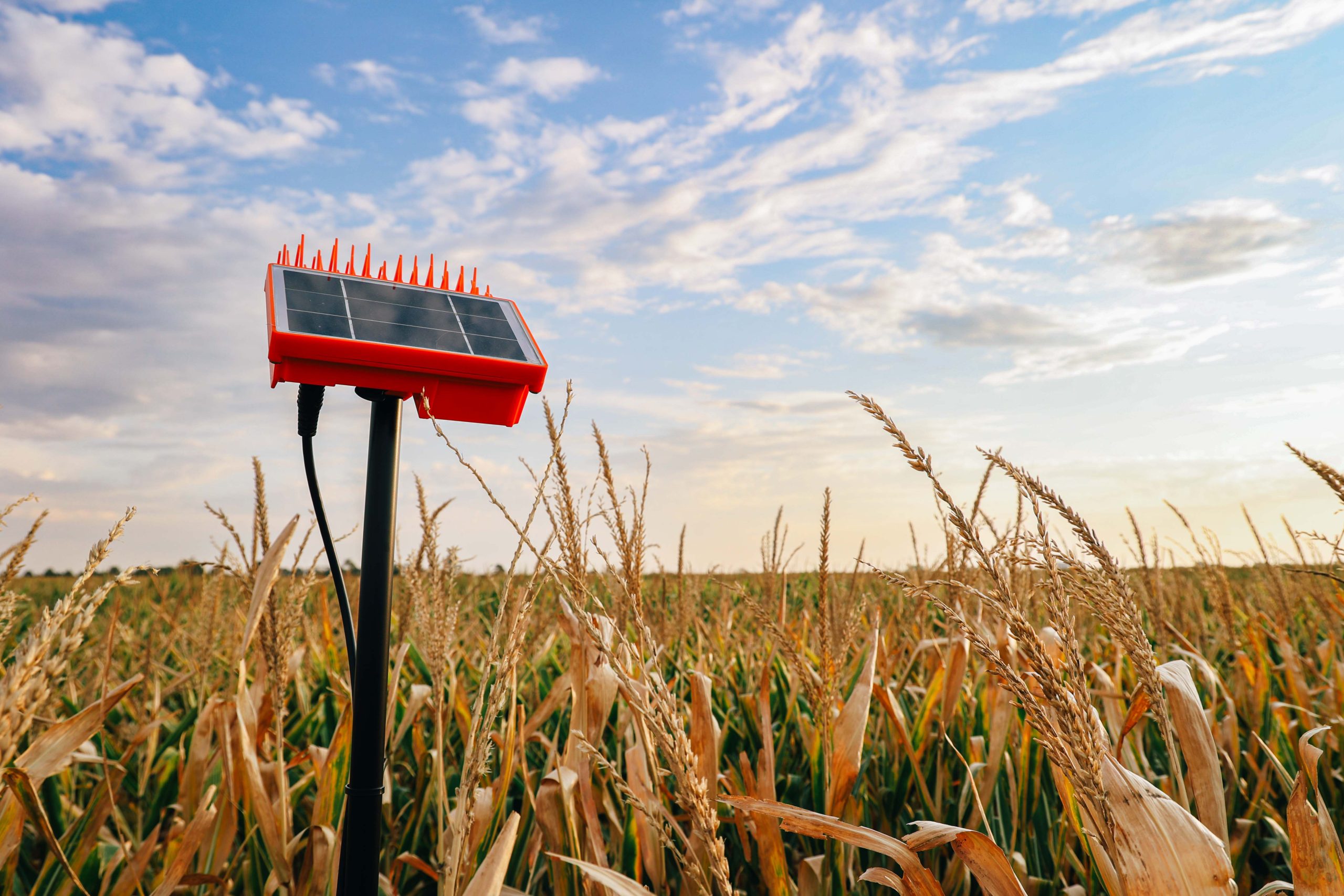
(Photo by Kelsey Stremel, Kansas State University.)
As water supplies decline across the High Plains, researchers are testing whether satellite data can provide producers with information useful for making irrigation decisions.
The Satellite Enabled Resilient Ag Project, known as SatRAP, is a five-year project funded by the U.S. Department of Agriculture that began in 2025.
The project brings together researchers from Kansas State University, the University of Kansas, Oklahoma State University, Texas Tech, Texas A&M University and West Texas A&M University, along with OpenET and NASA-affiliated researchers.
Goals and research
The project combines research within three areas: Socioeconomic, technical, and education and outreach. Researchers are working with producers in Kansas, Oklahoma and Texas to understand how the technology performs and whether the information it provides is useful for farm management.
Susan Metzger is SatRAP program director and leads the project’s education and outreach efforts. She also serves as director of strategic interdisciplinary program development at Kansas State University and leads the Kansas Water Institute.
Metzger said SatRAP is centered on a broad question: How can producers remain productive as water becomes increasingly limited across the High Plains?
“Every inch of water that we apply is critically important, and where and when you apply it needs to mean something. It needs to result in good production, and precision agriculture is the way that we can get there,” Metzger said.
She said the universities involved in SatRAP bring together researchers from different disciplines to address water use across the Ogallala High Plains.
SatRAP has 15 participating operations in each state, for a total of 45 farms. Most of the participating operations are irrigated and were selected in areas where producers are already dealing with changes in water availability or policies affecting water use.
Researchers are retrofitting the fields with technology while producers continue their normal farming operations. The project includes a range of crops, including corn, sorghum, soybeans, and cotton. SatRAP also has a demonstration farm in each of the three states.
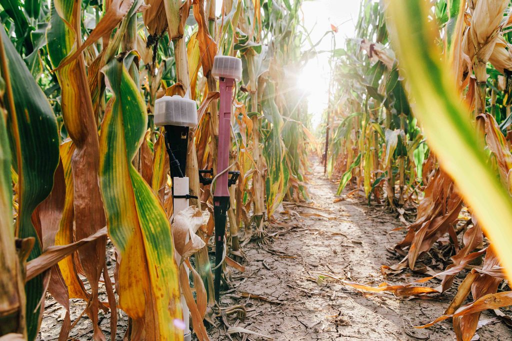
The technology includes soil moisture sensors, water meters, localized weather stations, autonomous irrigation equipment and eddy covariance towers. Researchers are using those field-level measurements to help validate satellite-based estimates of water use. Some fields also have equipment attached to center pivots to collect information as the pivot moves across the field.
OpenET and satellite technology
A major component of the project involves OpenET, an online platform that uses satellite data to estimate evapotranspiration, or the amount of water leaving a field.
Jonathan Aguilar, an Extension irrigation specialist at K-State and SatRAP researcher, said the satellite component is intended to eventually provide information producers can use in irrigation management.
The technology, however, is still being validated and is not yet ready for daily irrigation decisions.
“It is not yet in the stage where it can be used for daily decision making of irrigation,” Aguilar said.
He said the current data typically comes with a three- to four-day delay.
“We are hoping that we will get to the point that it’s almost like a regular weather forecast, wherein you have the data from the past 24 hours, and some projection of the data in the next three to four days ahead of time,” Aguilar said.
Researchers are still working through technical challenges with the satellite data, including differences between satellite observations and conditions measured at the field level. Data from field sensors are being used by SatRAP researchers to determine whether satellite estimates correspond with conditions measured on the ground.
Aguilar said cloud cover can interfere with satellite observations, while satellite-based estimates of water use rely on related measurements, such as temperature, rather than directly measuring water leaving a field.
“That means that we have to make sure the equation or procedure really captures the data, and that’s where the land-based sensors are going to work well,” he said.
Researchers also are collecting water meter readings to compare the amount of water applied with satellite estimates.
How to utilize the information
Metzger said the field instrumentation being tested is commercially available to producers, while OpenET is available to the public at no cost. The challenge is determining how to turn the volume of available data into information producers can use.
“We’re data rich and information poor, and so I think this is only reinforcing that it’s not necessarily about more data; it’s about taking good data and translating that into good decisions in real time,” Metzger said.
For now, irrigation decisions remain with producers. Aguilar said soil moisture sensors can help indicate when irrigation may be needed, but they are less useful for determining how much water should be applied.
“Many of the soil moisture sensors are able to help make a decision on when to irrigate, but probably not how much to irrigate,” Aguilar said.
Some producers participating in the project are becoming more mindful of when they irrigate, he said, but it is too early to determine the overall effect on water use.
“But we don’t have enough information to make any substantial claim that they are pumping less or more,” Aguilar said.
Metzger said the project is not intended to replace producers’ knowledge of their operations. Instead, researchers want to work with producers to determine which information and tools are useful for their decision-making.
“If you were to take all this technology away, the smartest person in the room is the person that’s been managing that land in their family for as long as they have been,” Metzger said. “We’re hoping to learn with them to improve that.”
As the five-year project continues, researchers will use field measurements and satellite data to evaluate which tools can provide useful information for irrigation management as water supplies become more constrained.
Lacey Vilhauer can be reached at 620-227-1871 or [email protected].